In addition to the blog posts, there are also detailed videos on YouTube that document the entire trip. So if you want to hear the full story told first hand, click here!
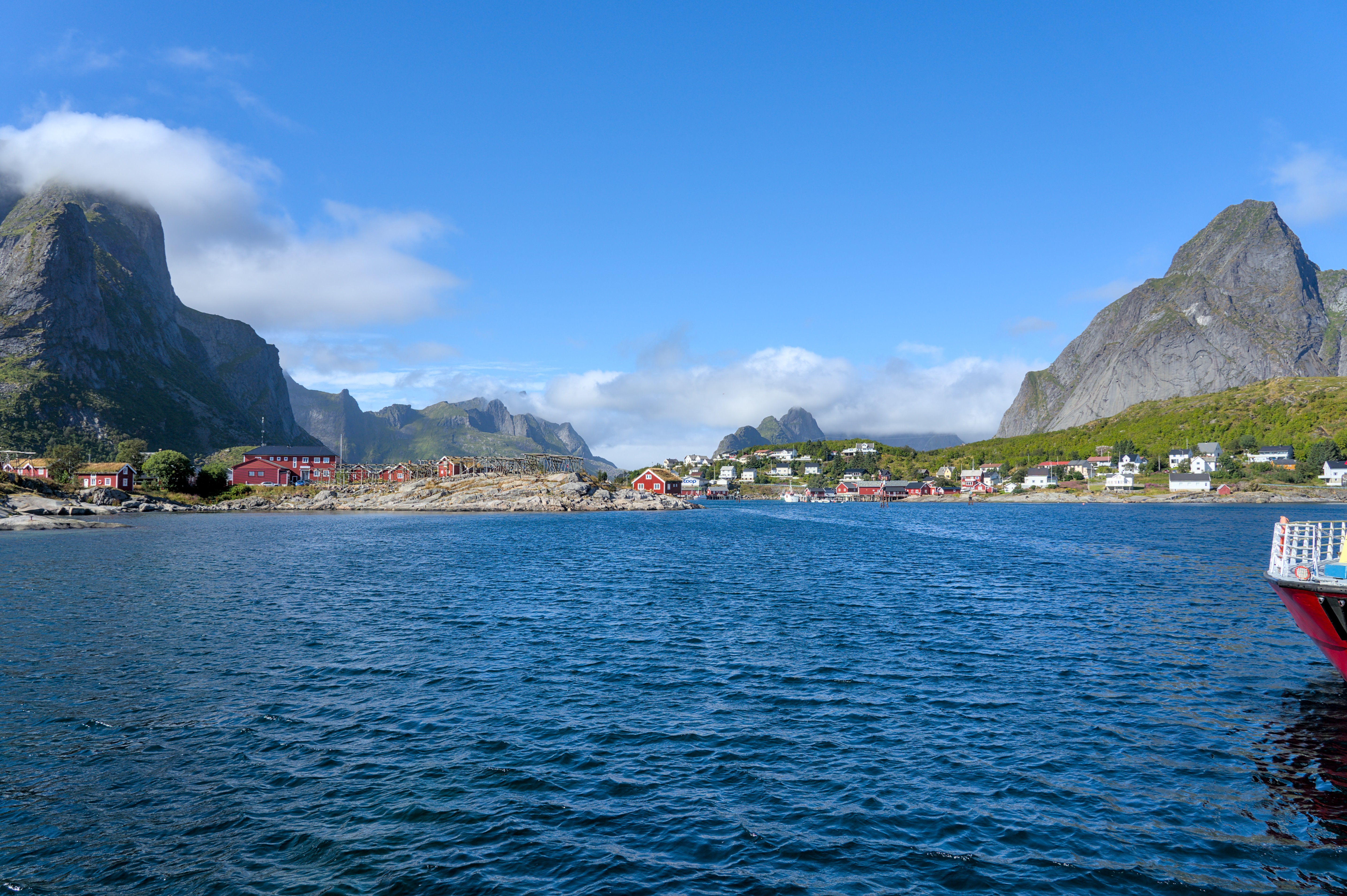
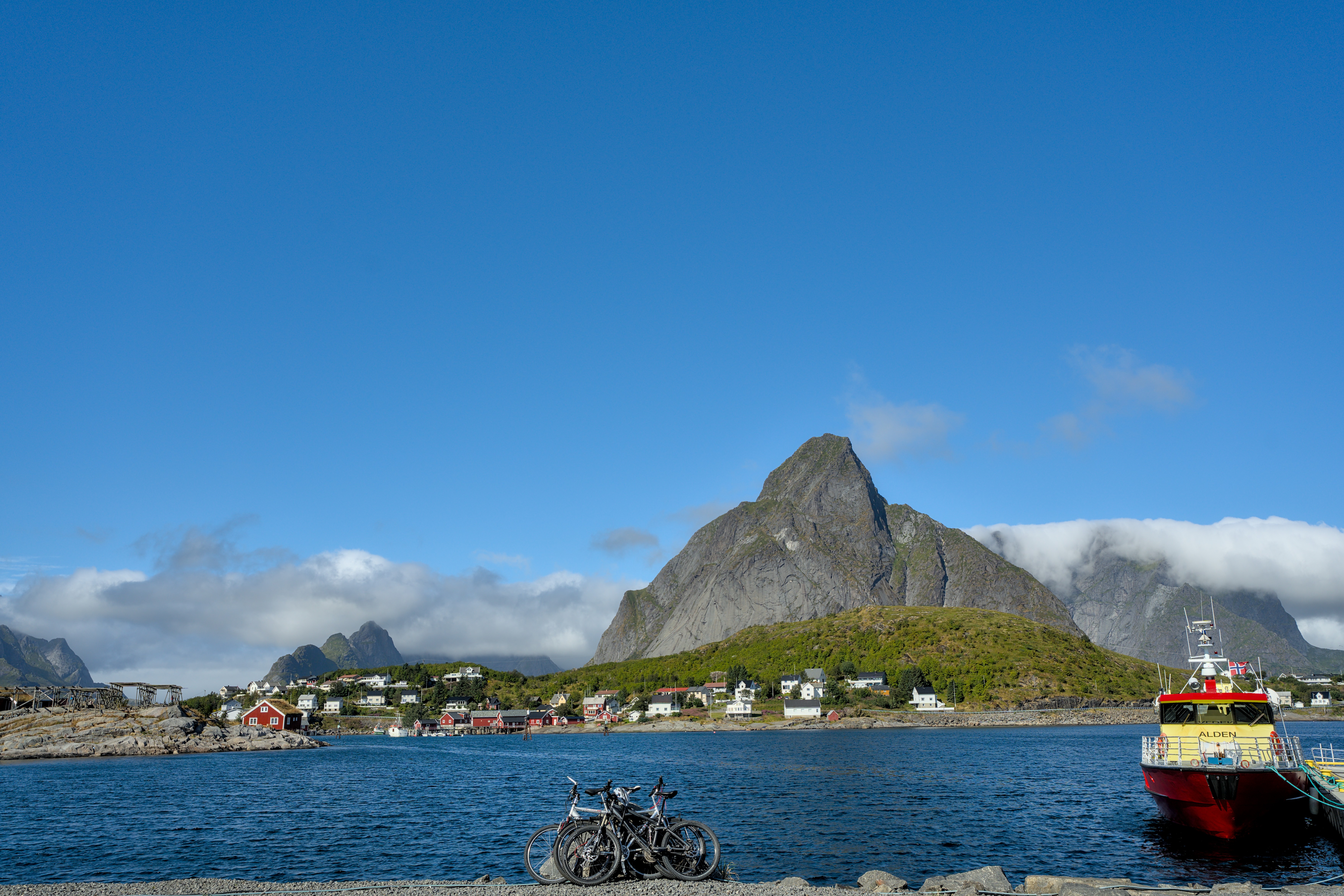
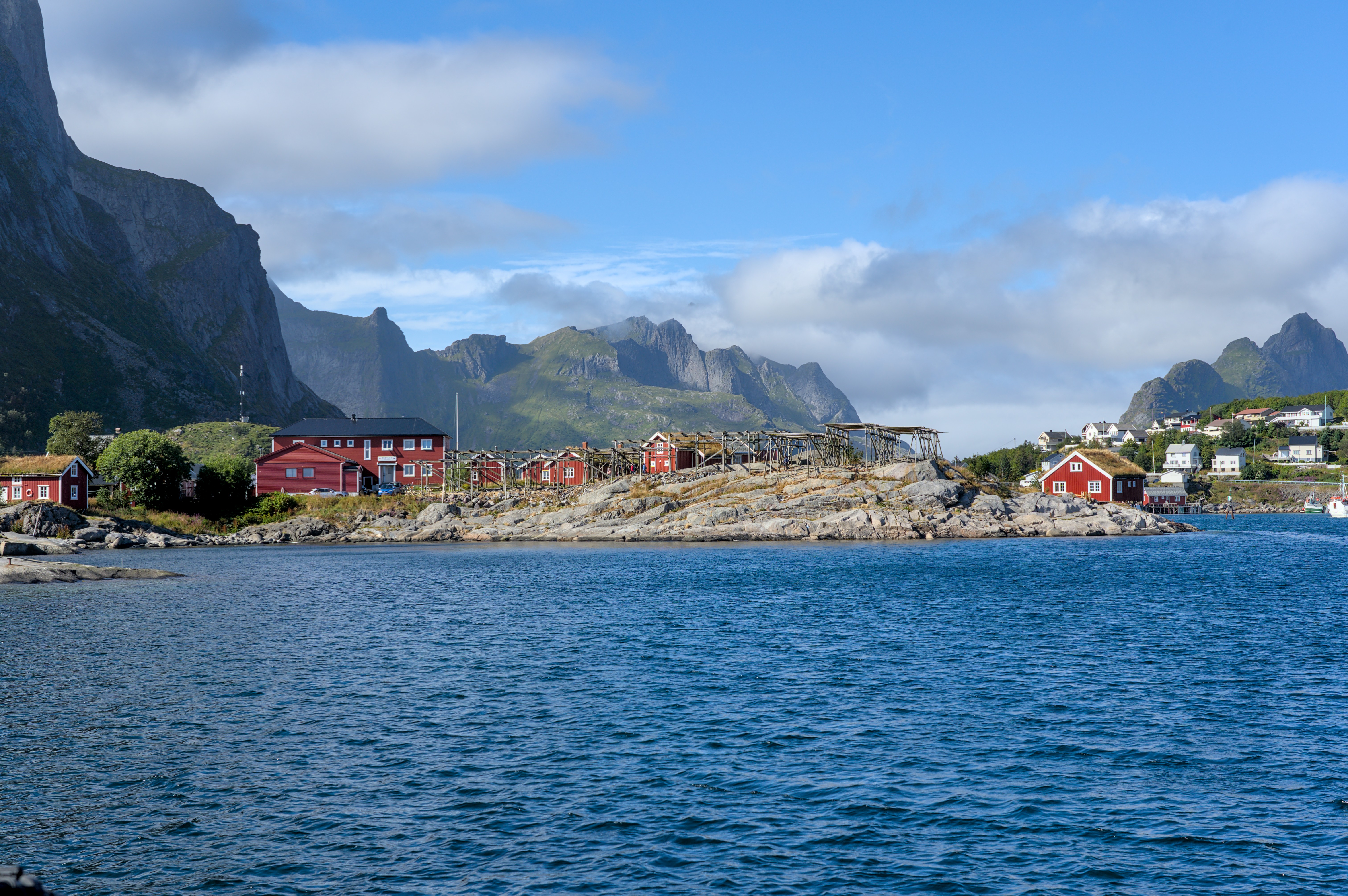
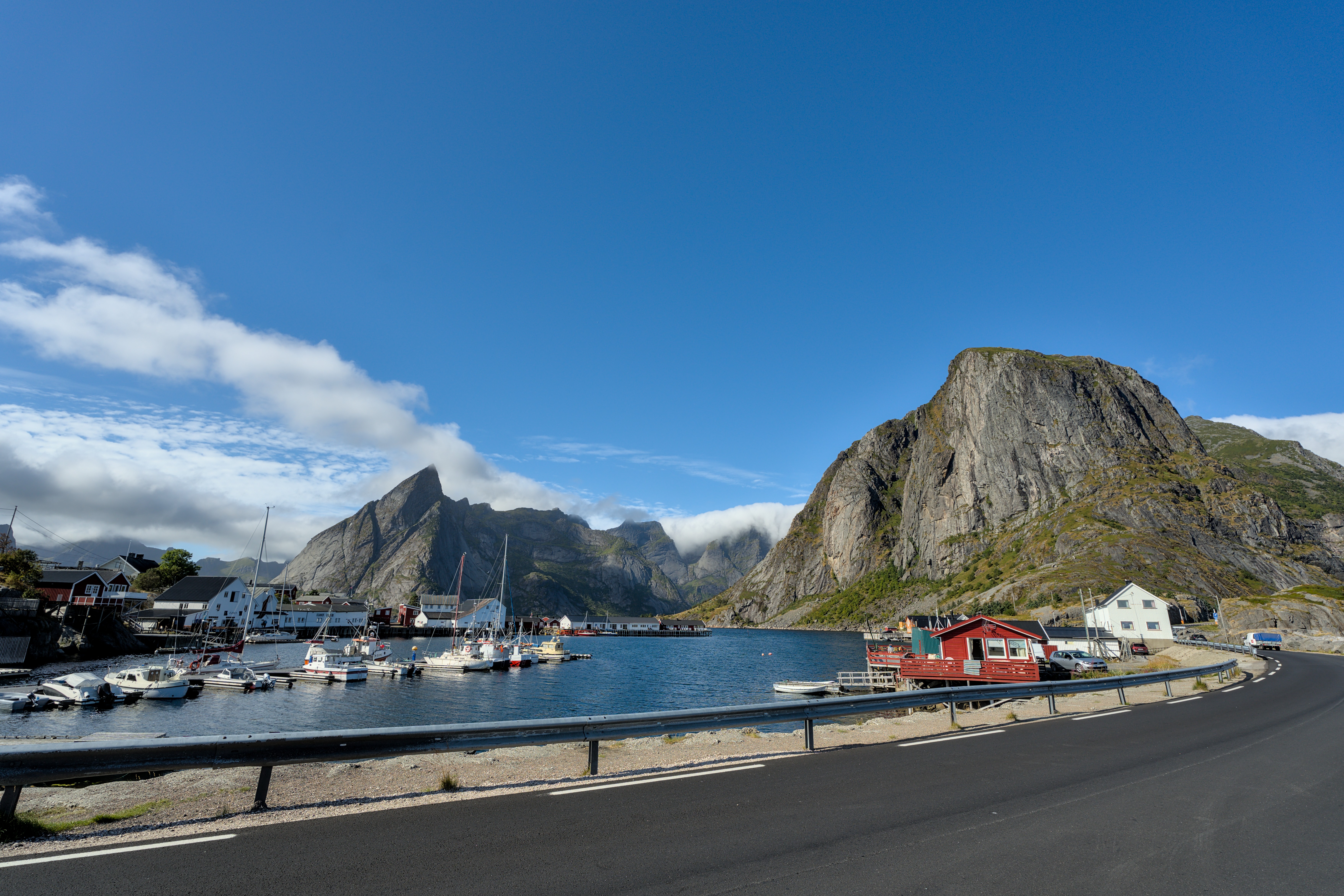
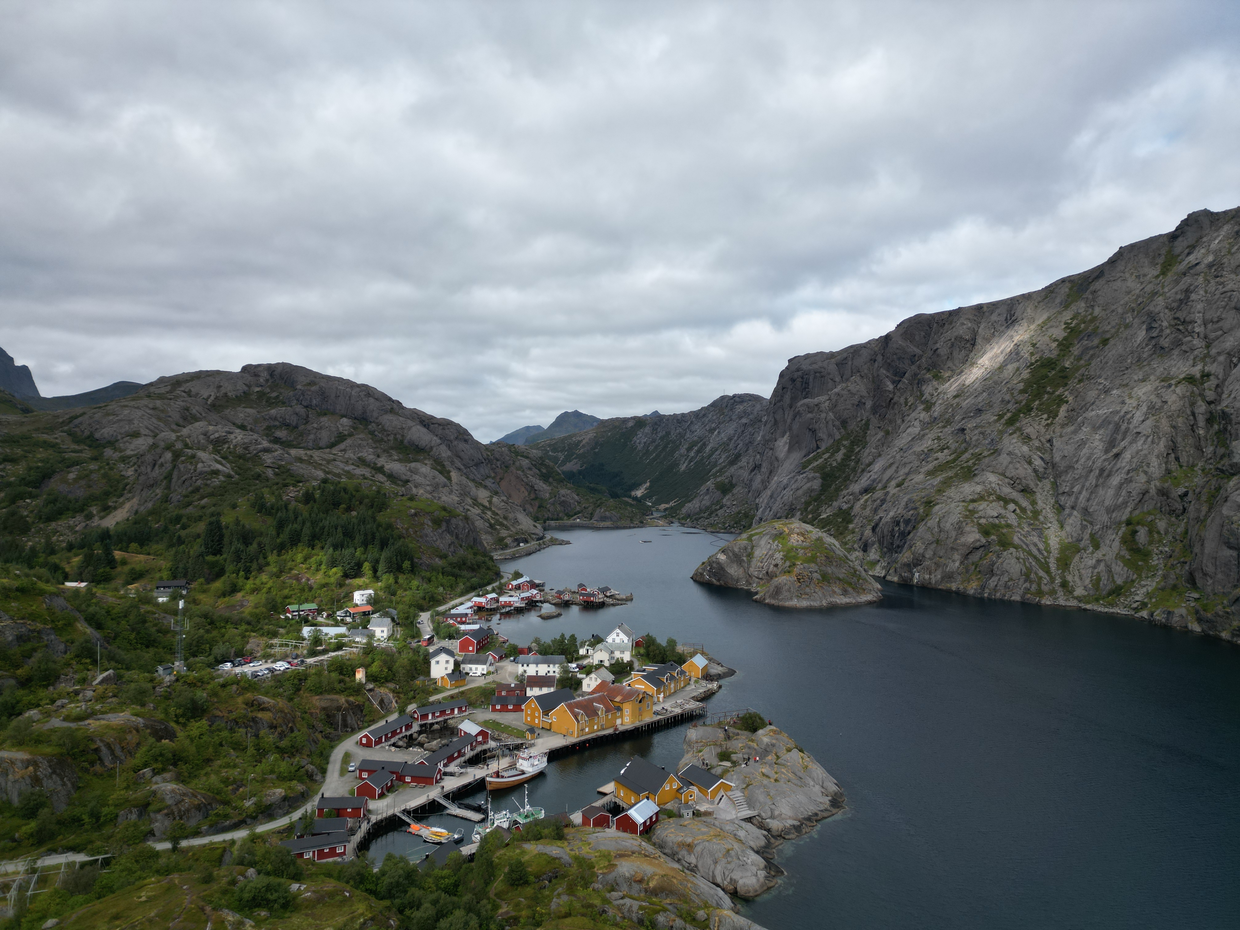
Reine
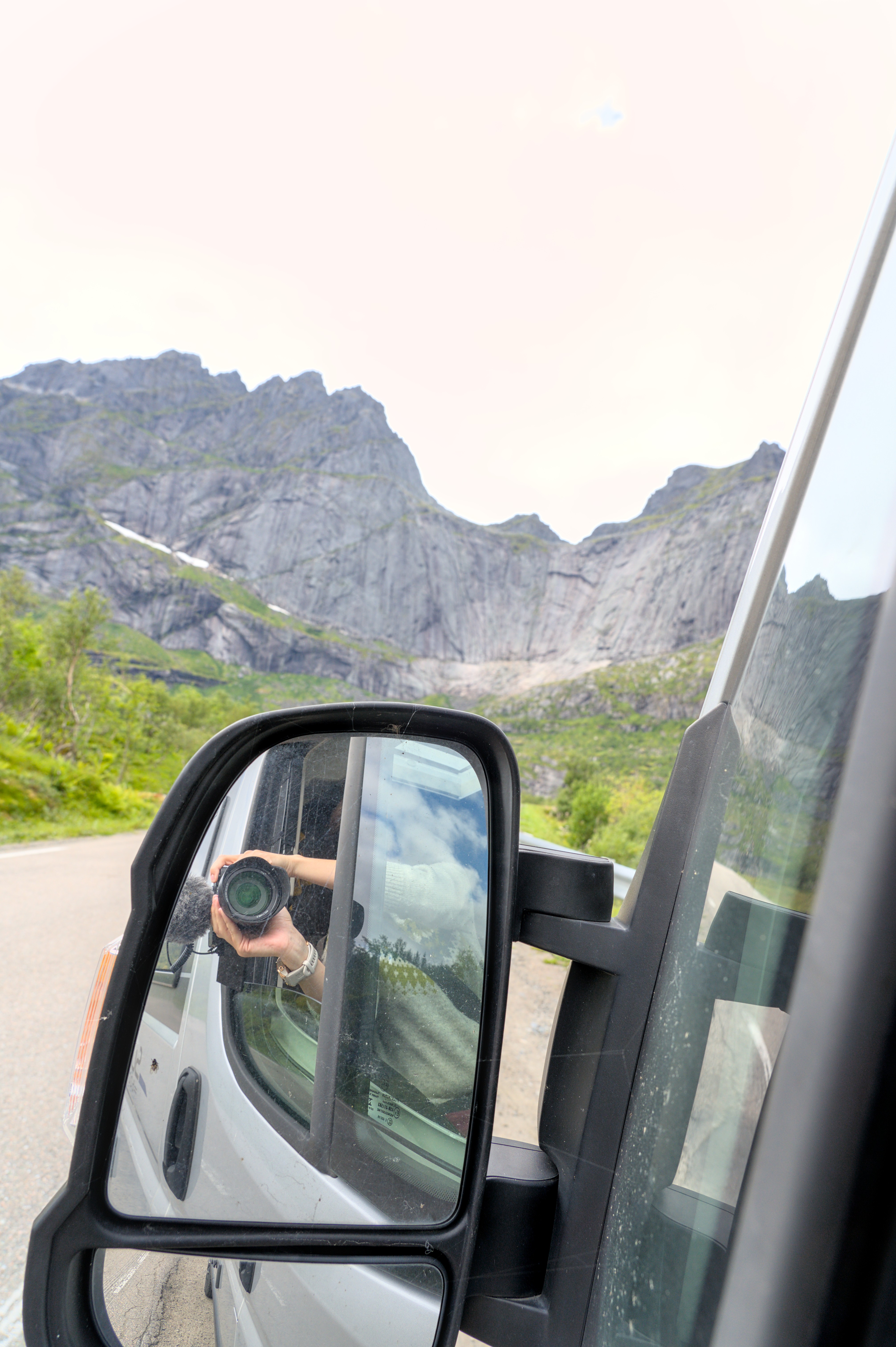
After our lunch stop and walk, we continue to explore the other places in the southern islands. There is only one problem: our little one finally has to take her afternoon nap. This always worked best in the last few days when we simply went on long car rides. But if you want to stop every five minutes at each photo stop, these two activities are just not really compatible with each other. That is why we quickly transformed our Dumbo into a photo shuttle.
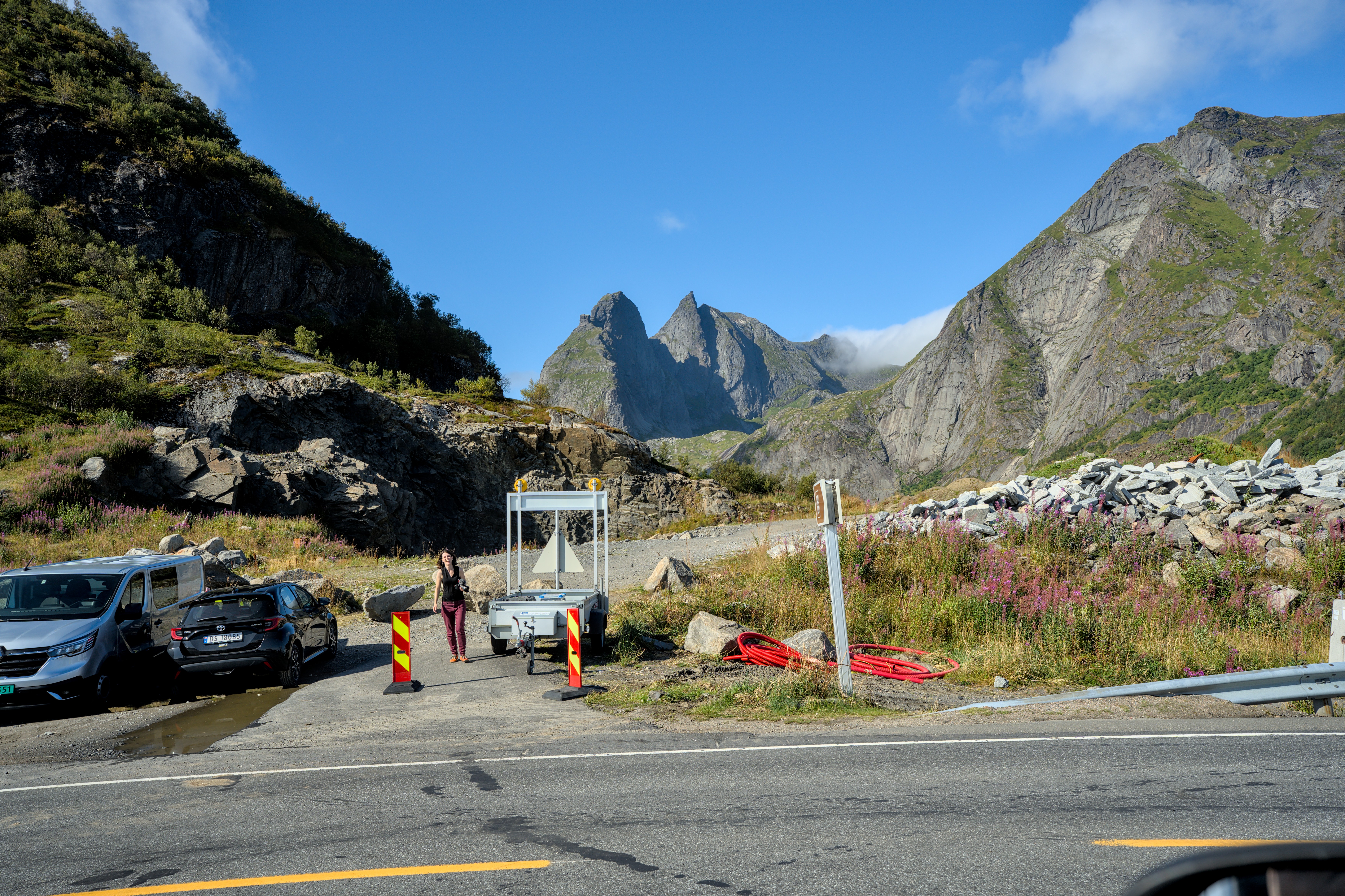
That means, I drive, the little one sleeps, Anne gets dropped out every five minutes, little one and I take a lap around the parking lot, Anne takes photos, and then we collect her again. When you do your lap around the parking lot, you can of course also take good photos out the window.
But everything is a little different here on these islands. The yellow boat here, for example, takes hiking enthusiasts to the hiking areas on the other side of Reinefjord. Unfortunately, we do not have time for that today, but it is certainly an impressive and unusual start to a hike, taking a boat through the fjord landscape.
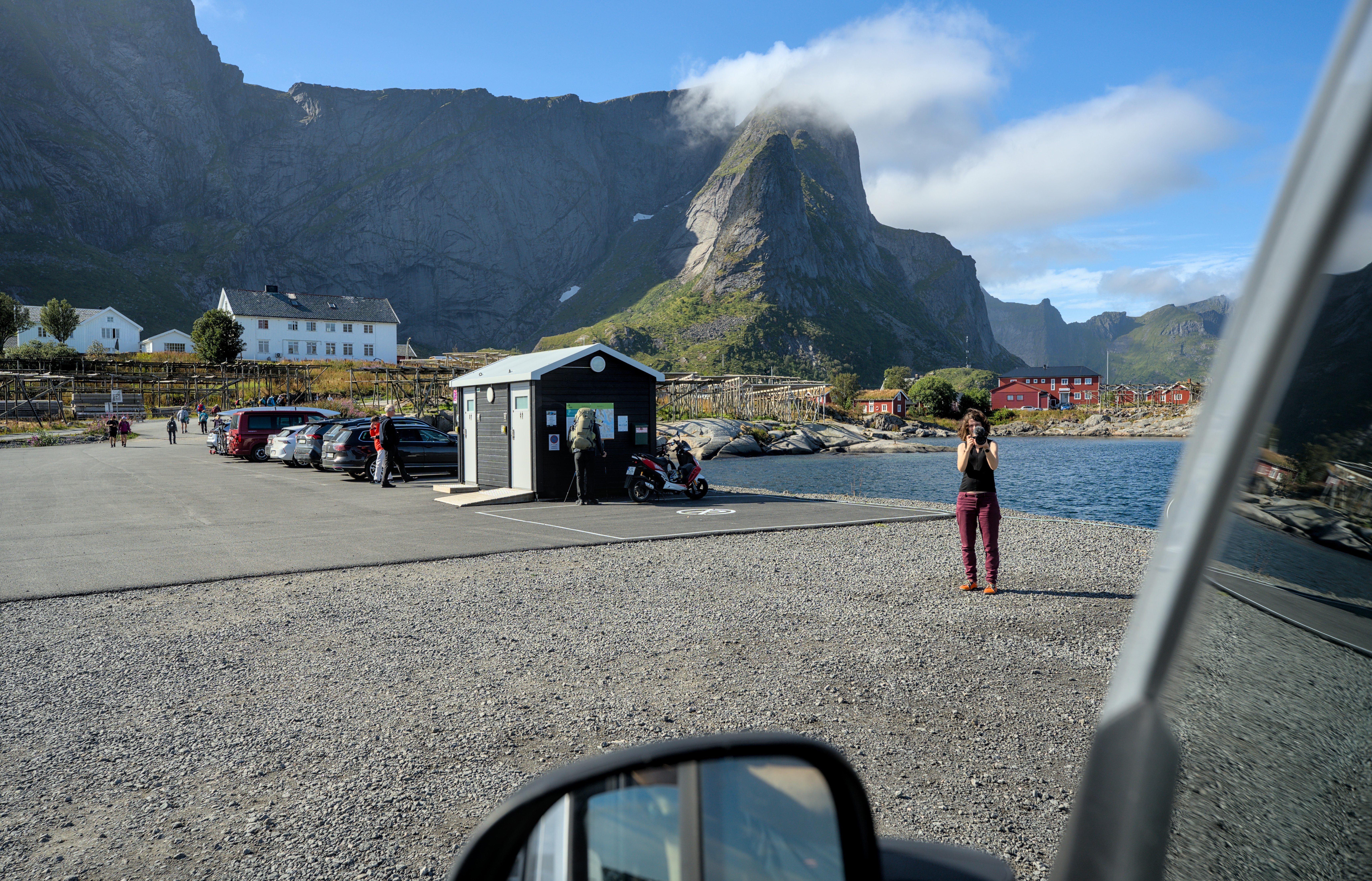
Advantage of a photo session from the car: At least the driver has to walk less. And there is something to be said about a photo from the driver’s window, right?
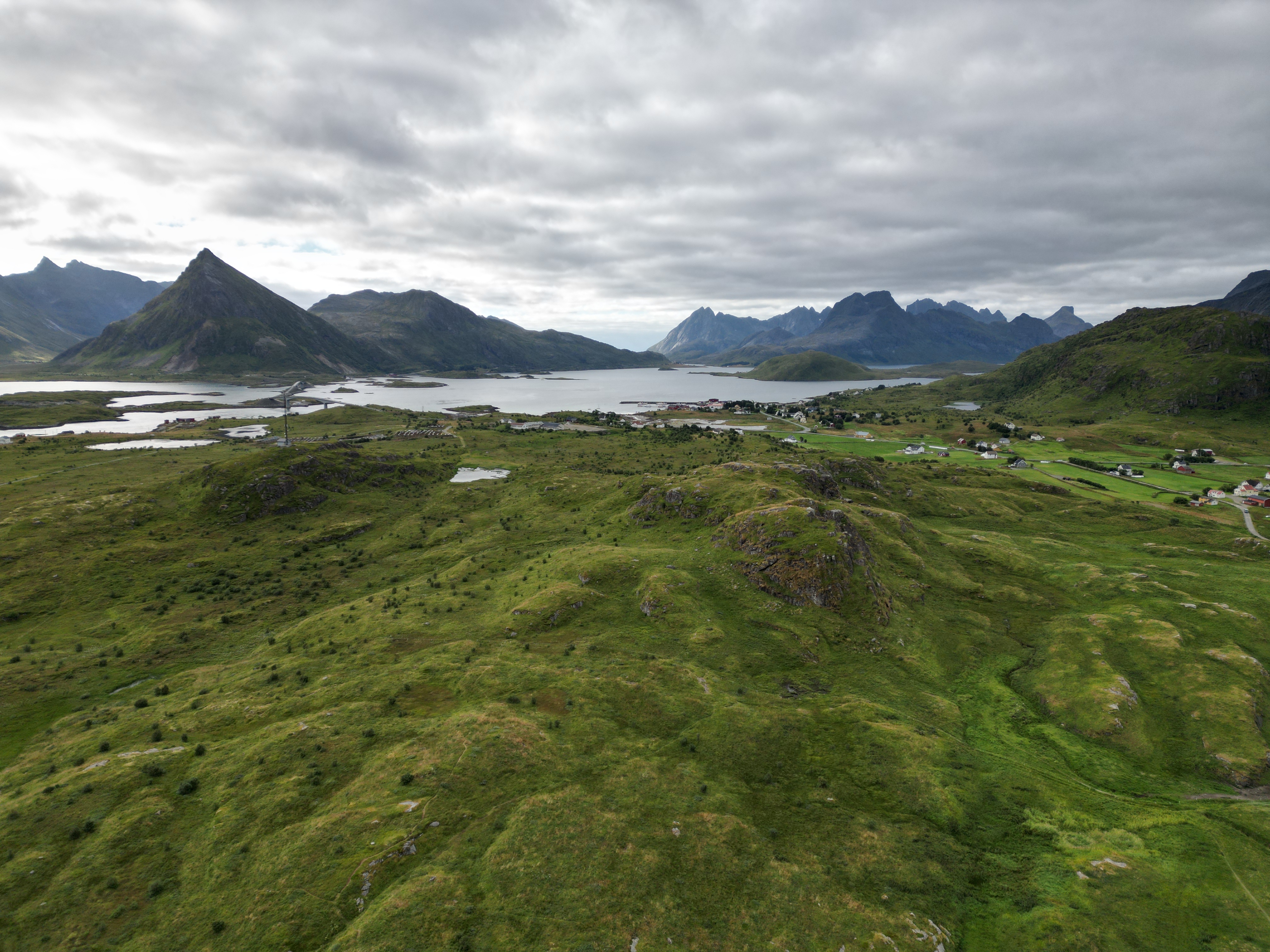
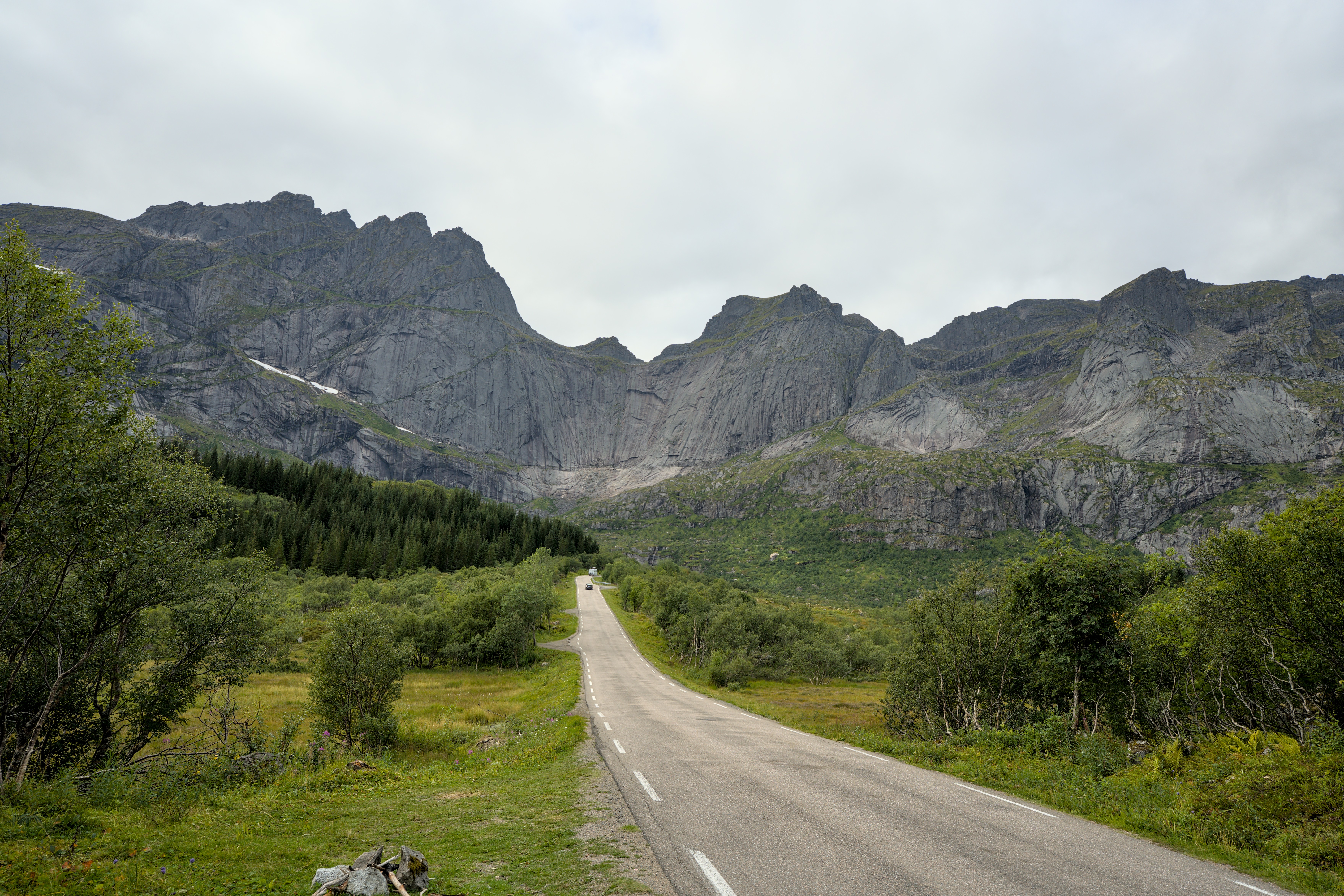
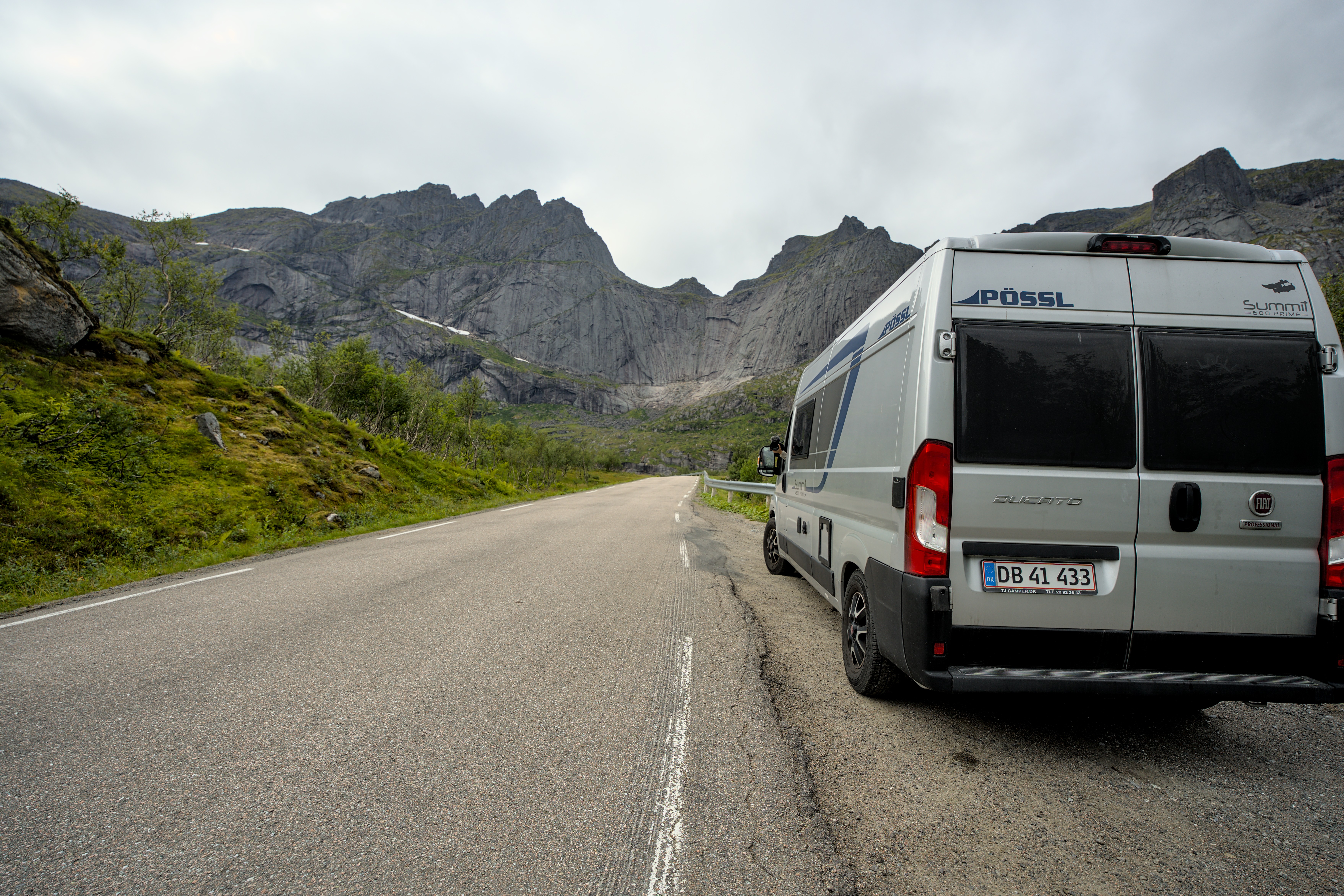
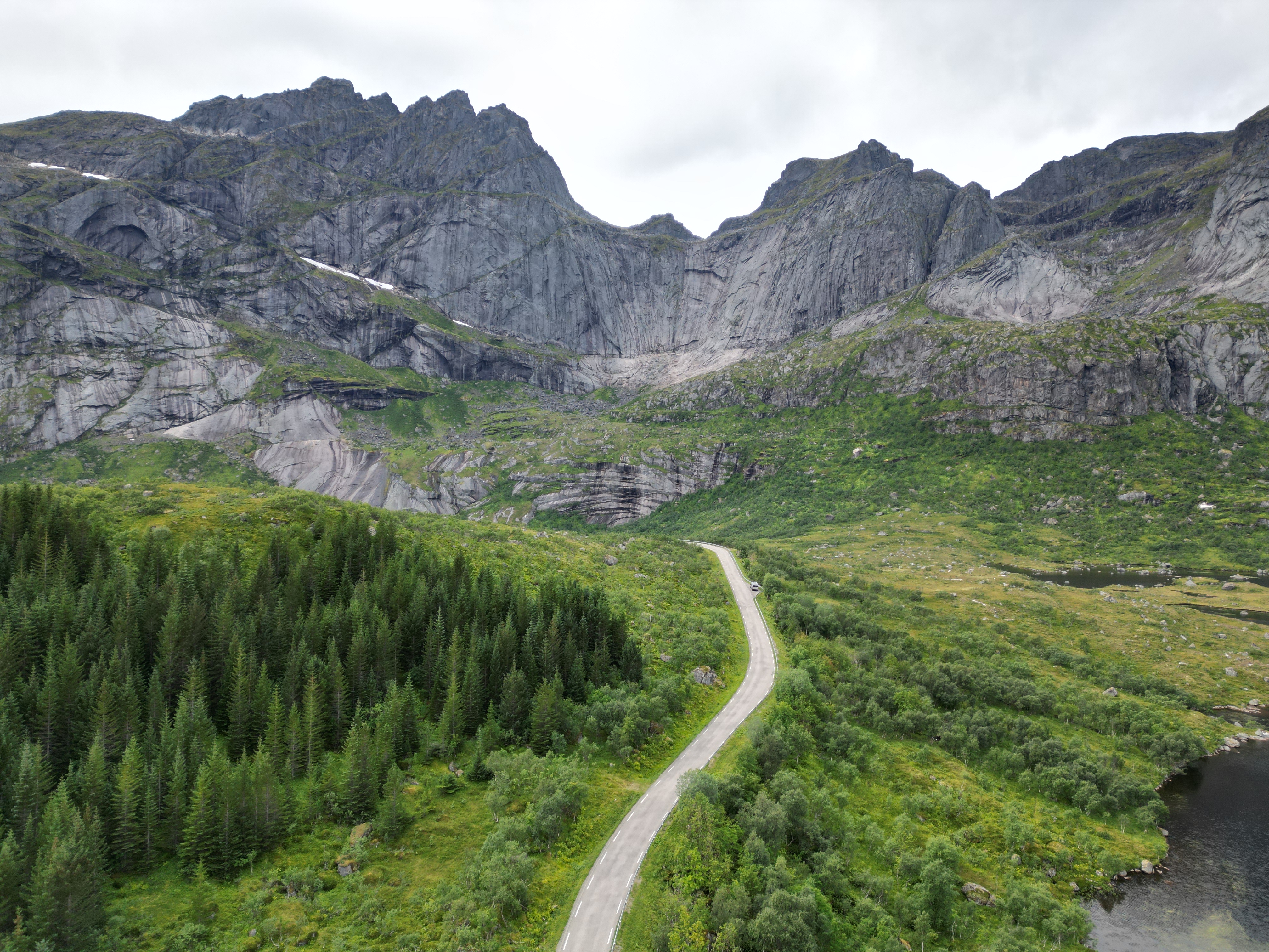
So we work our way kilometer by kilometer from place to place across the islands.
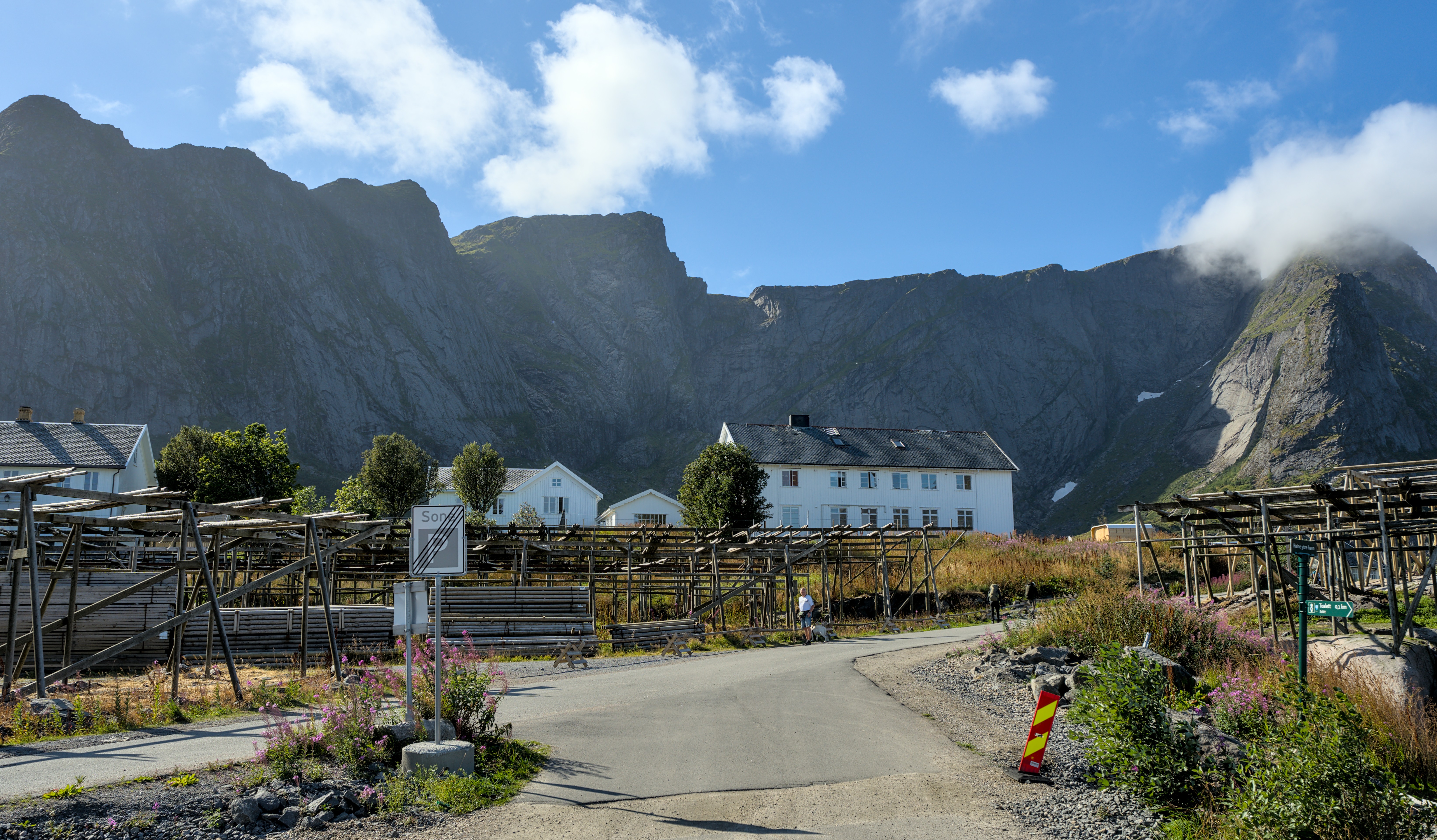
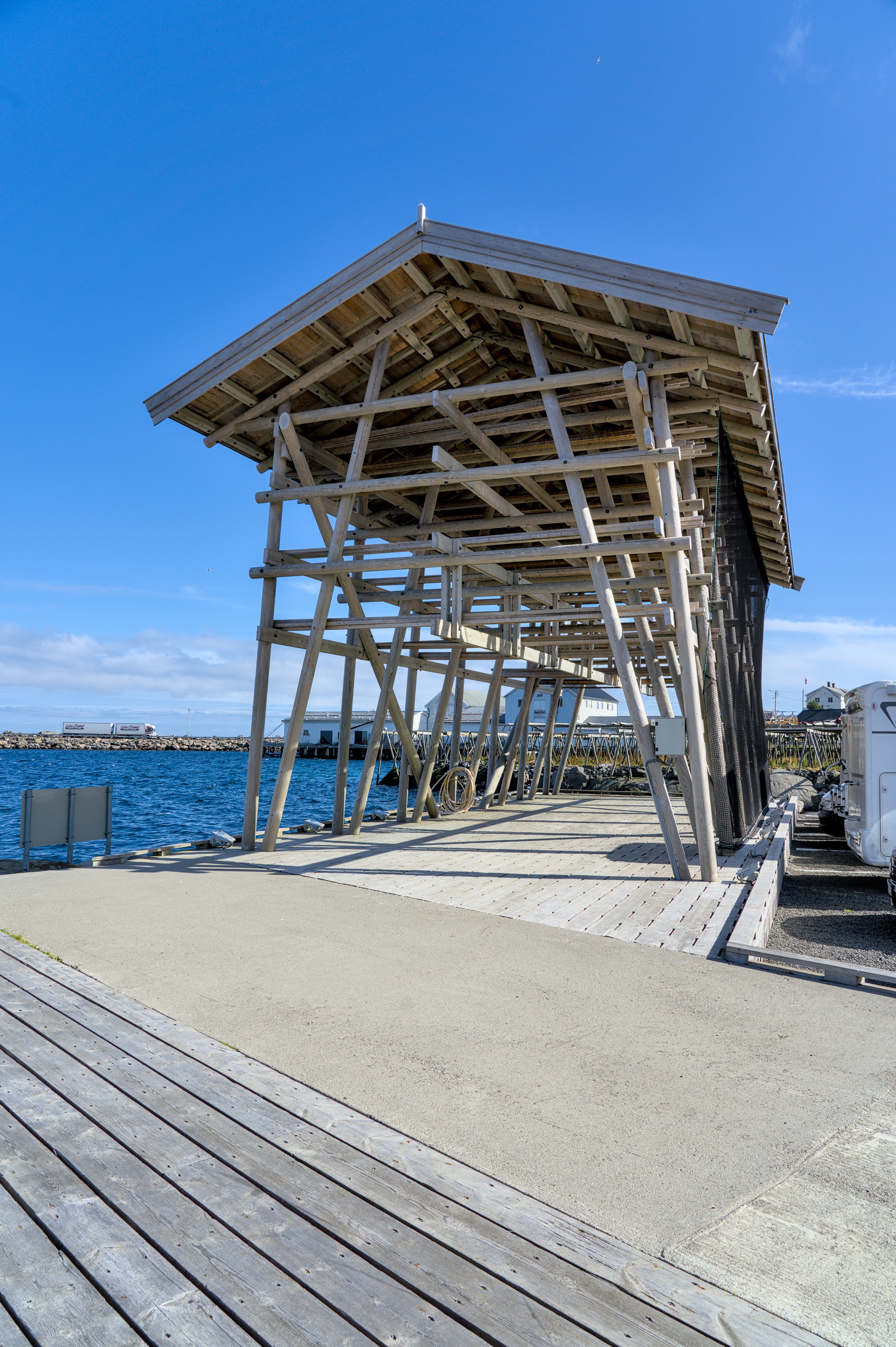
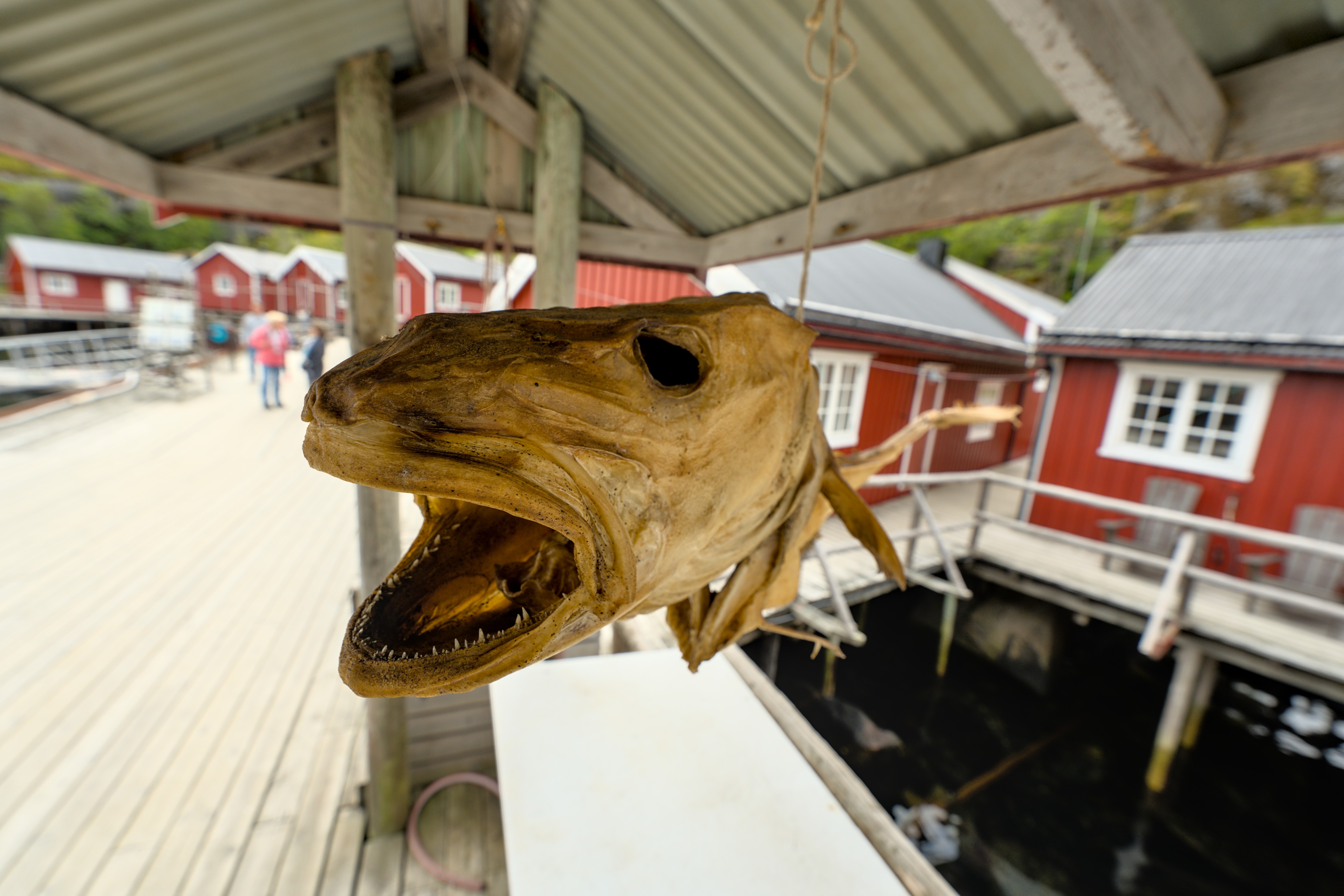
Of course, you can also find drying racks for stockfish everywhere.
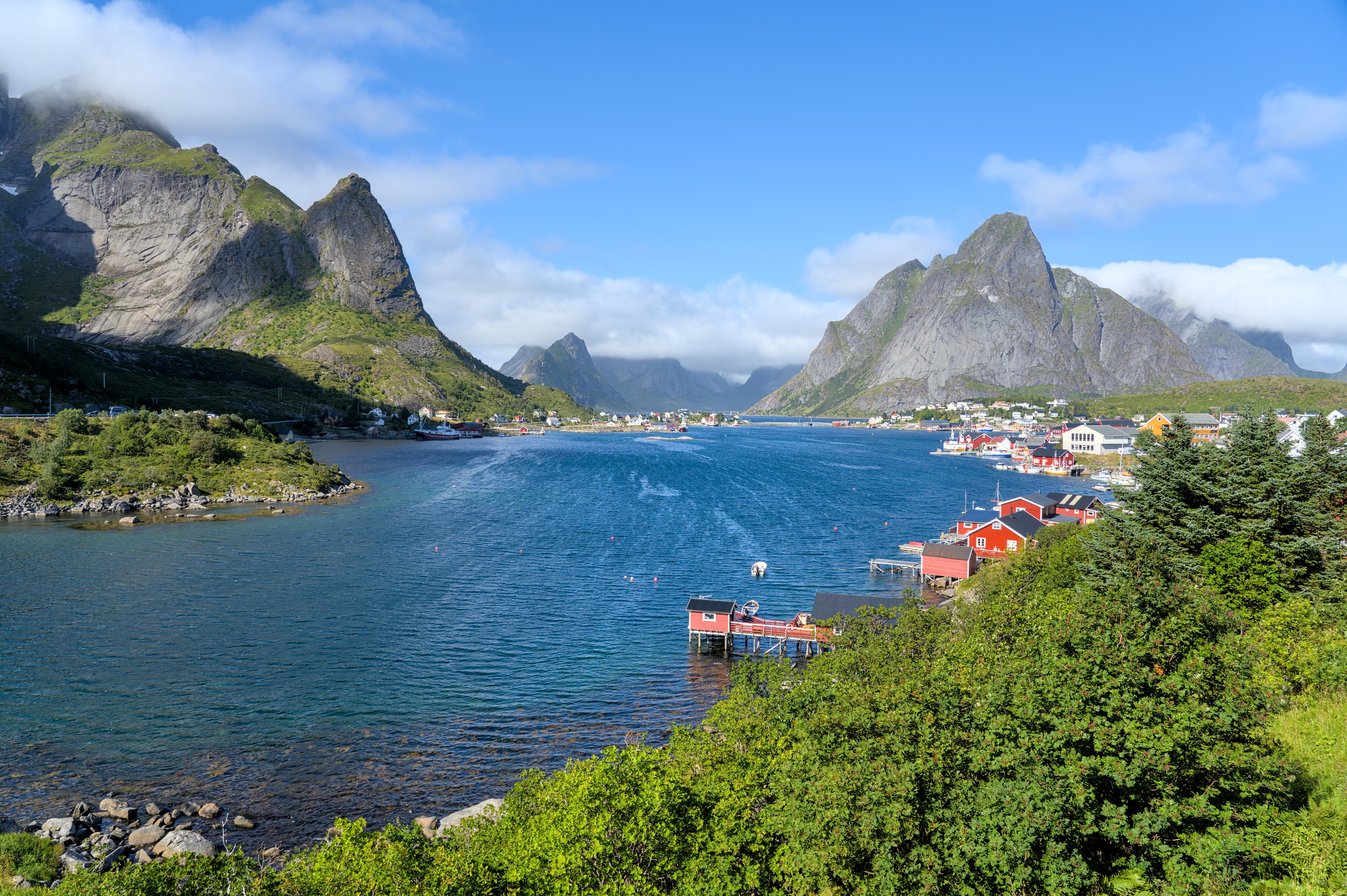
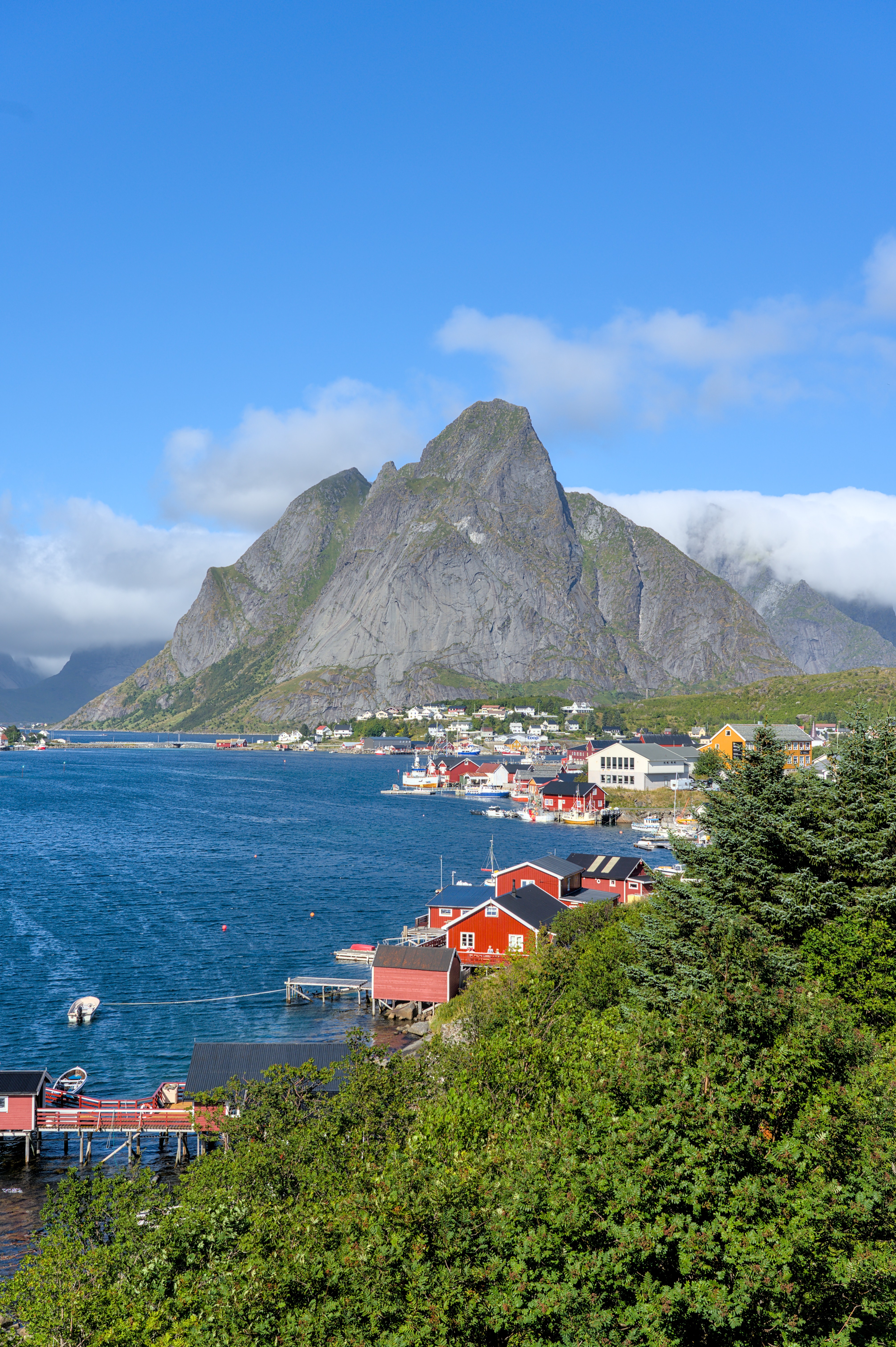
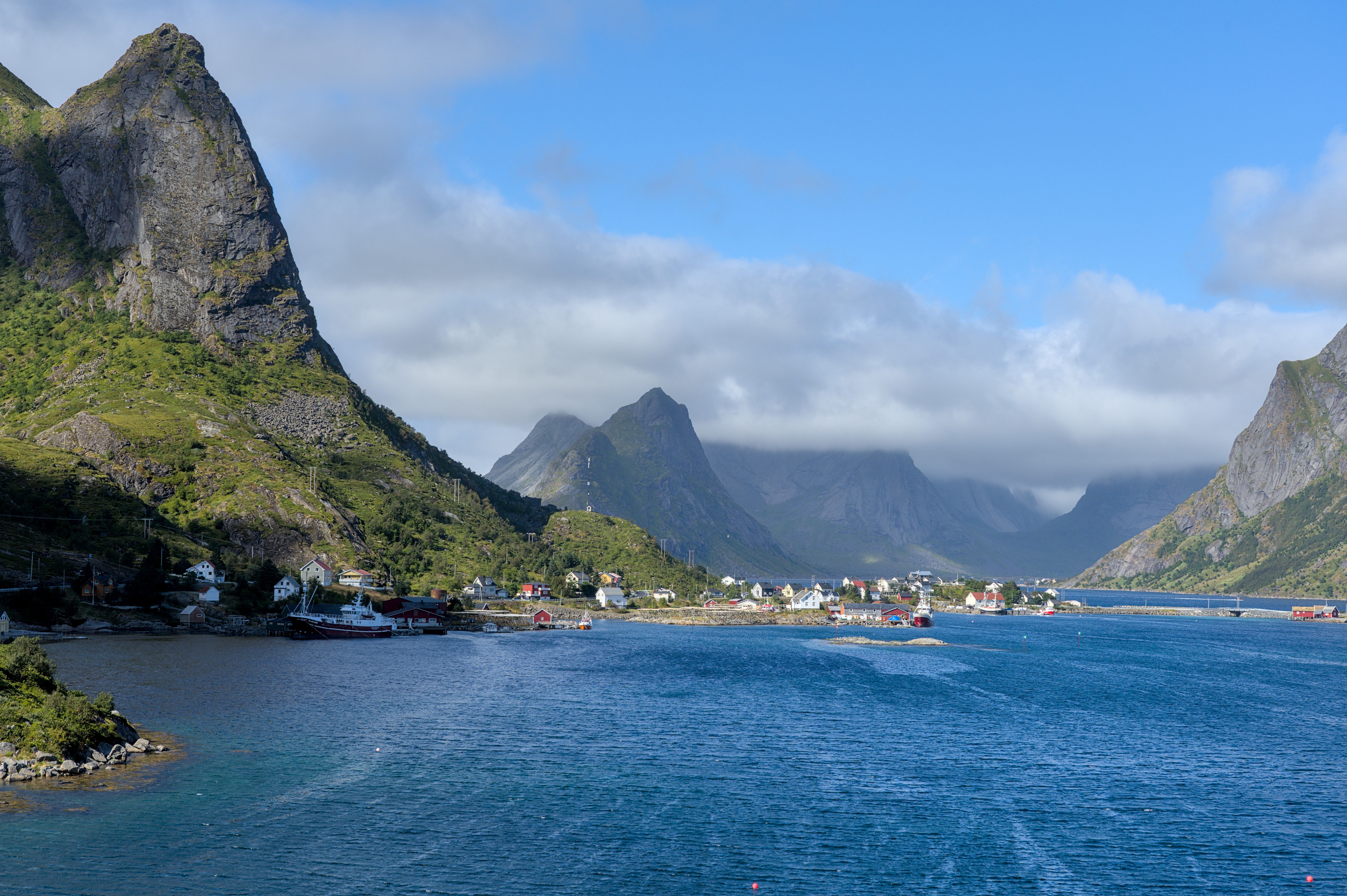
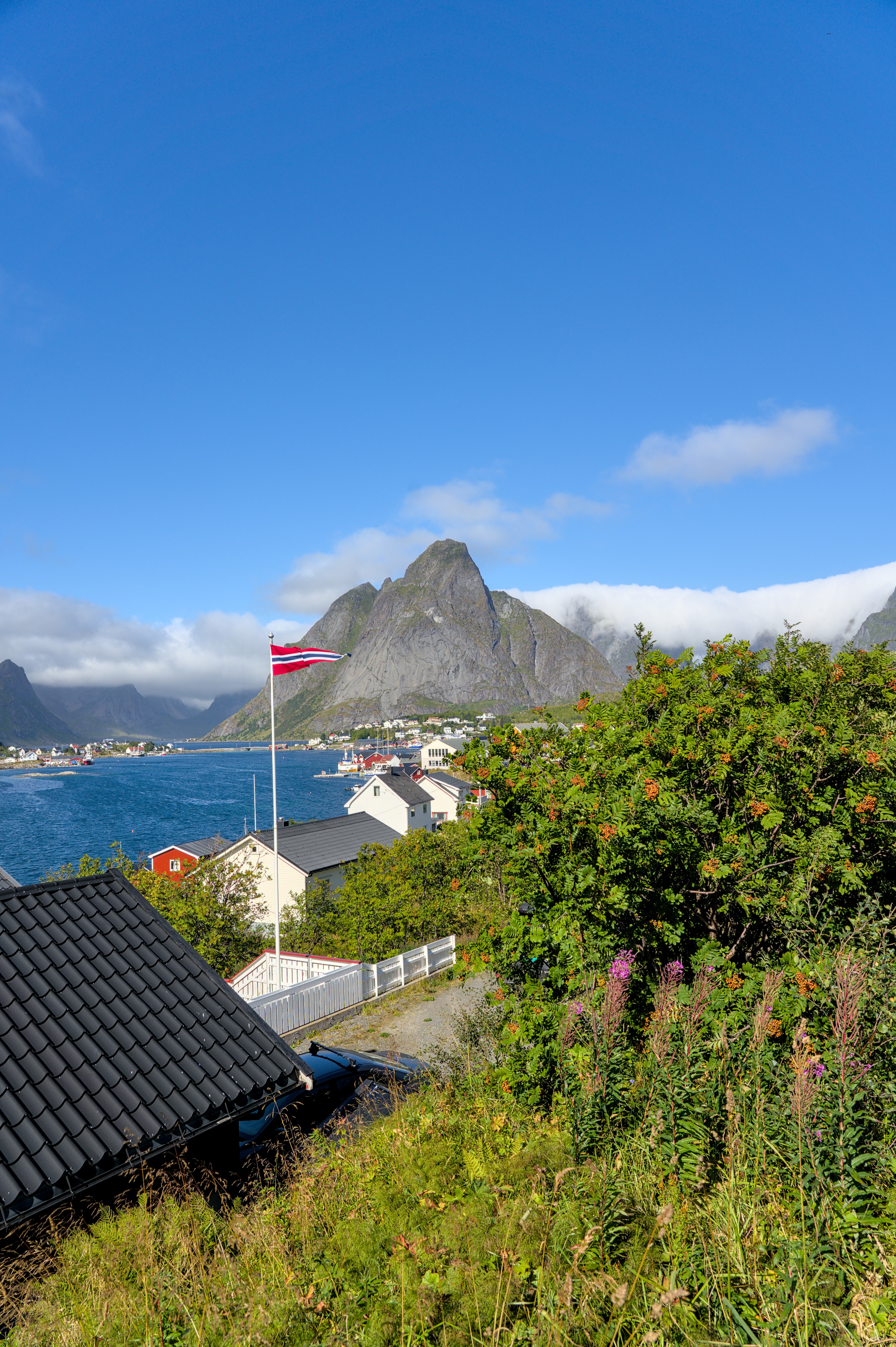
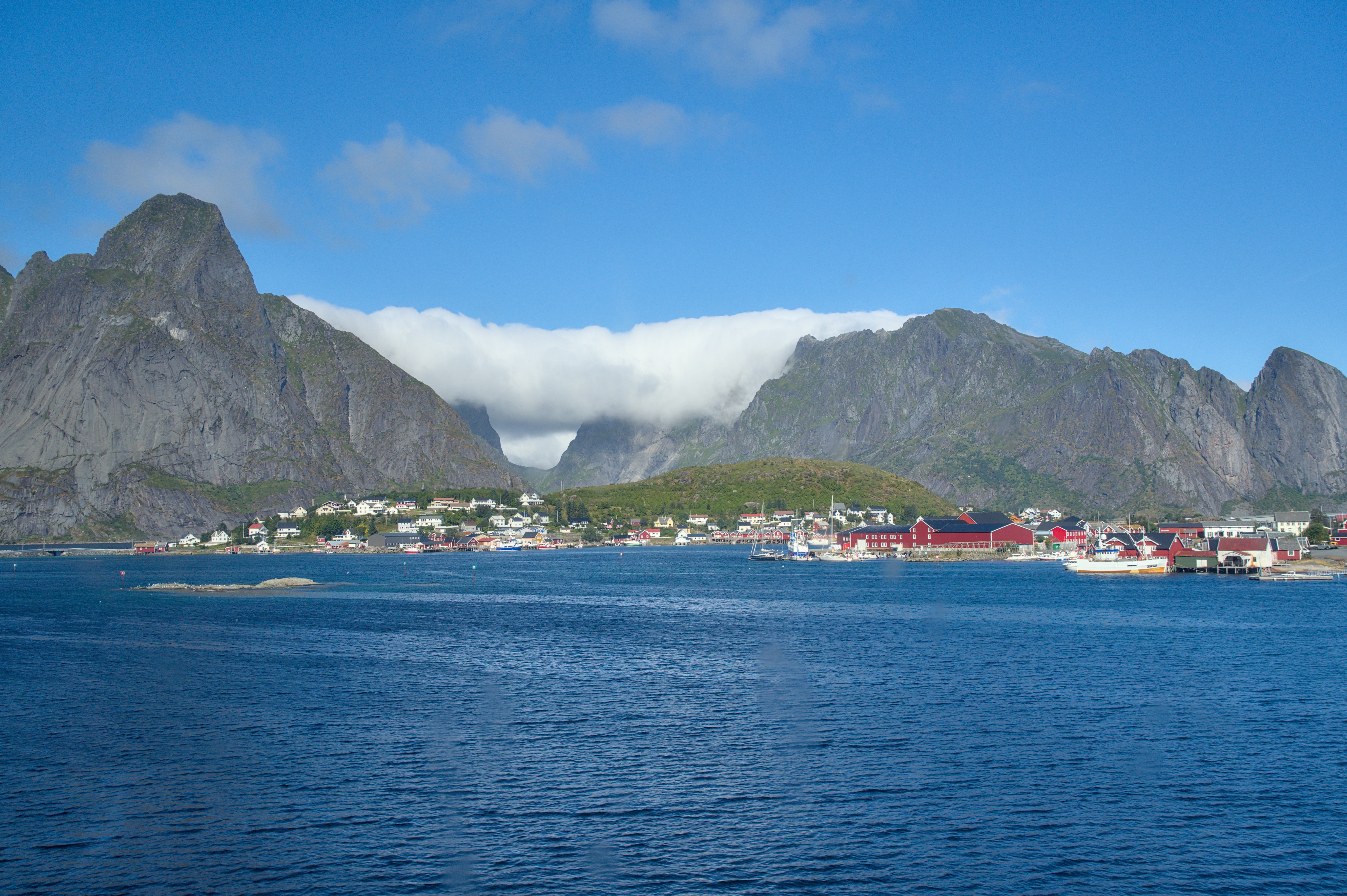
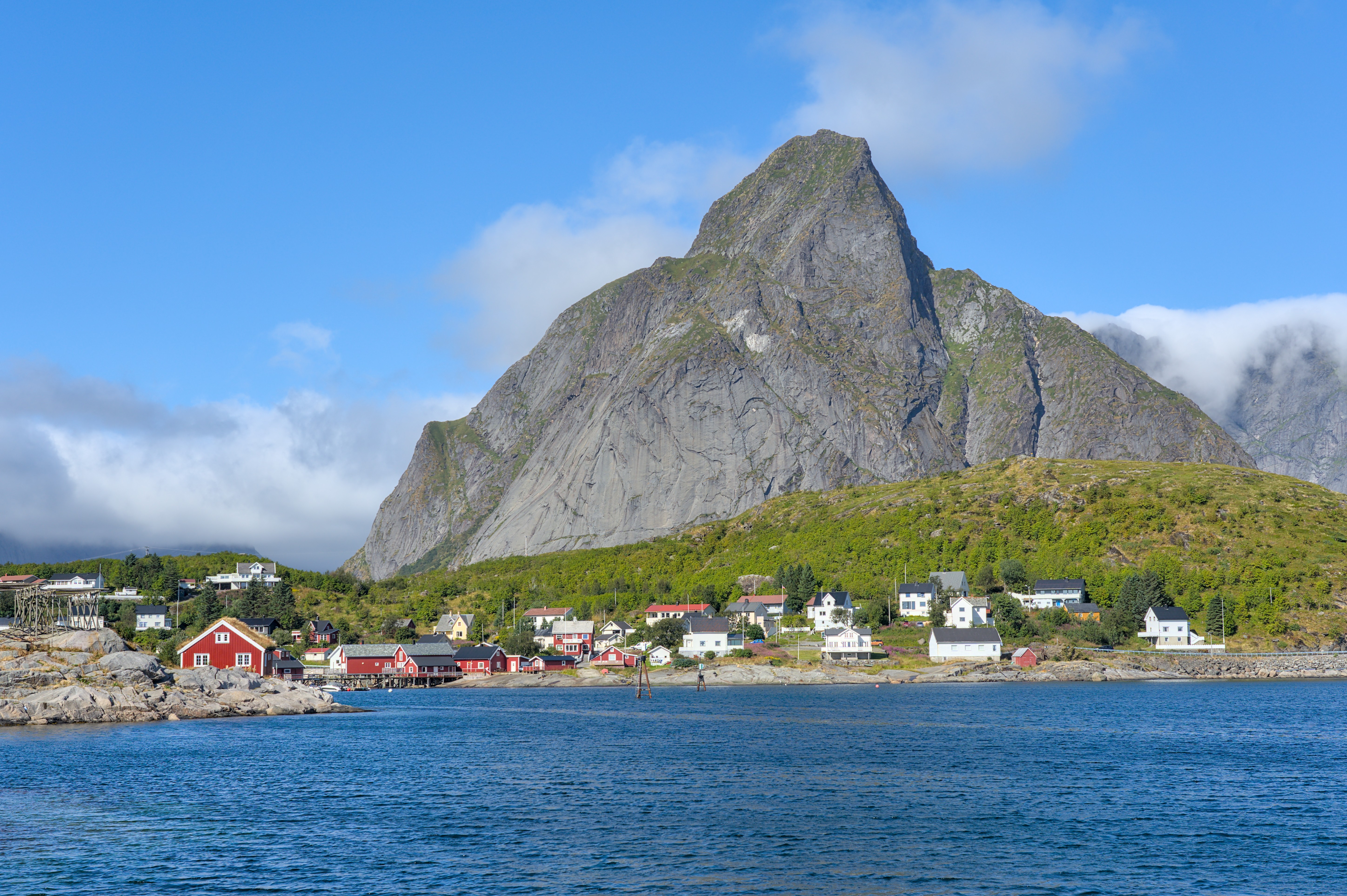
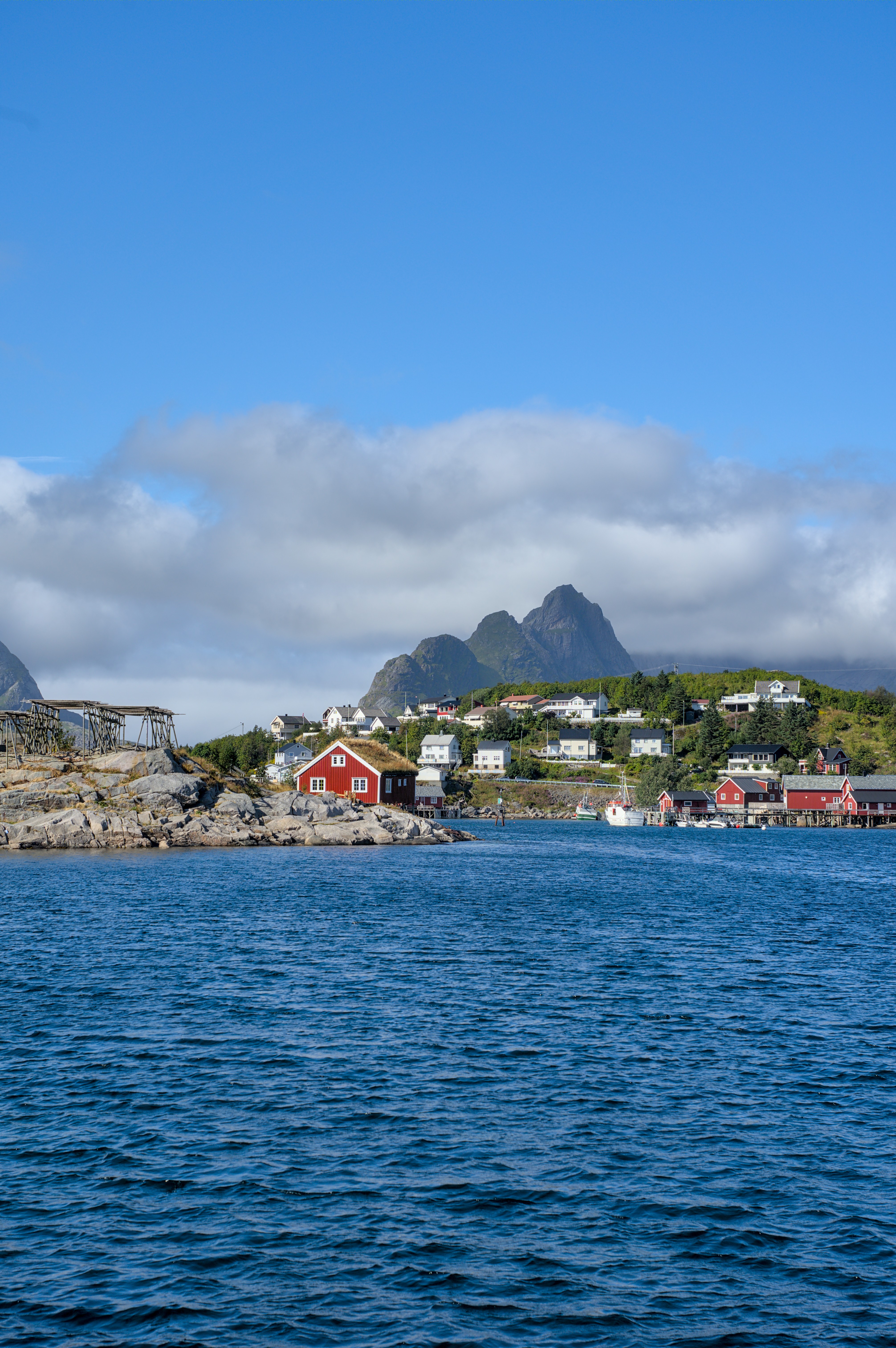
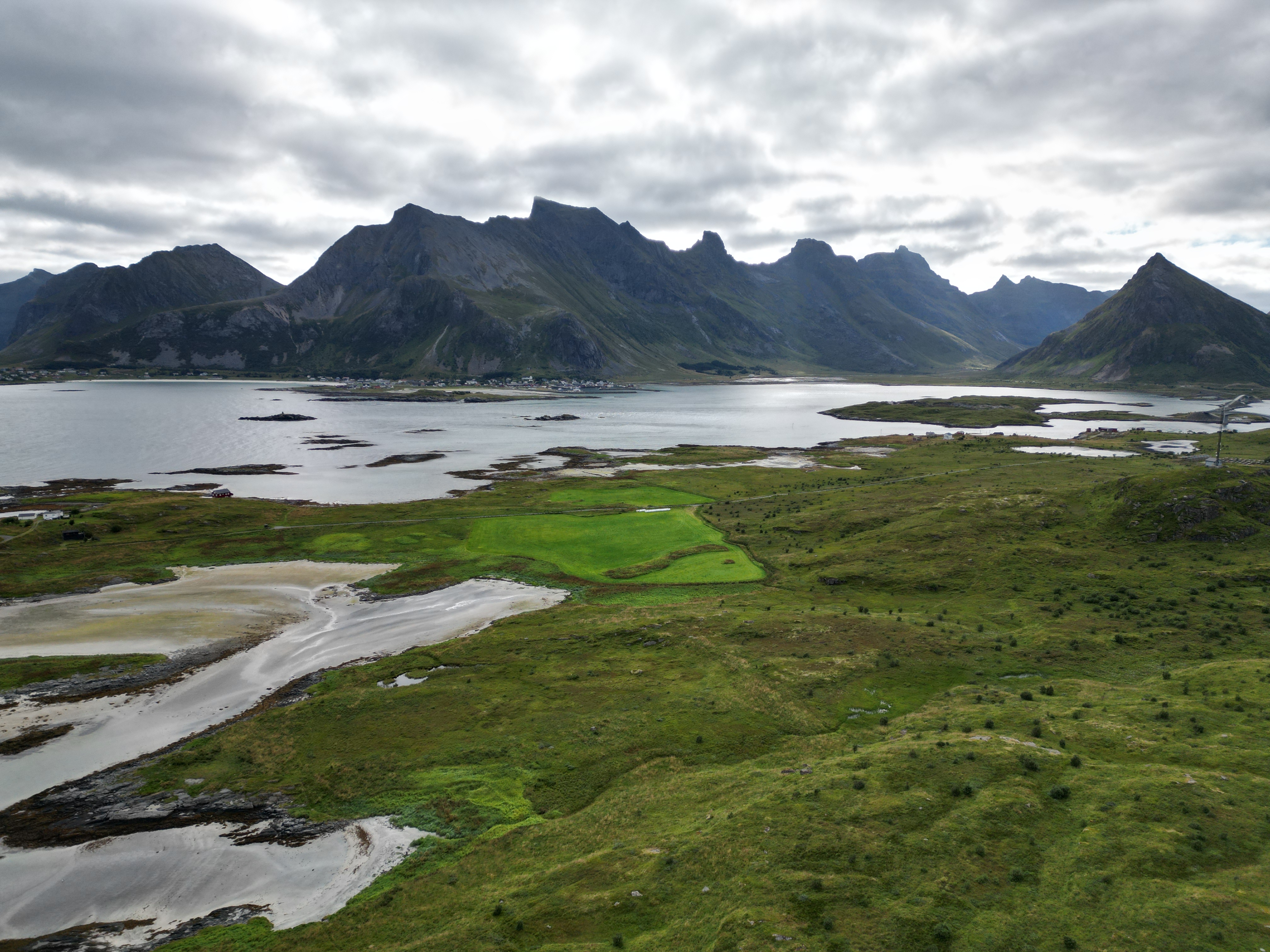
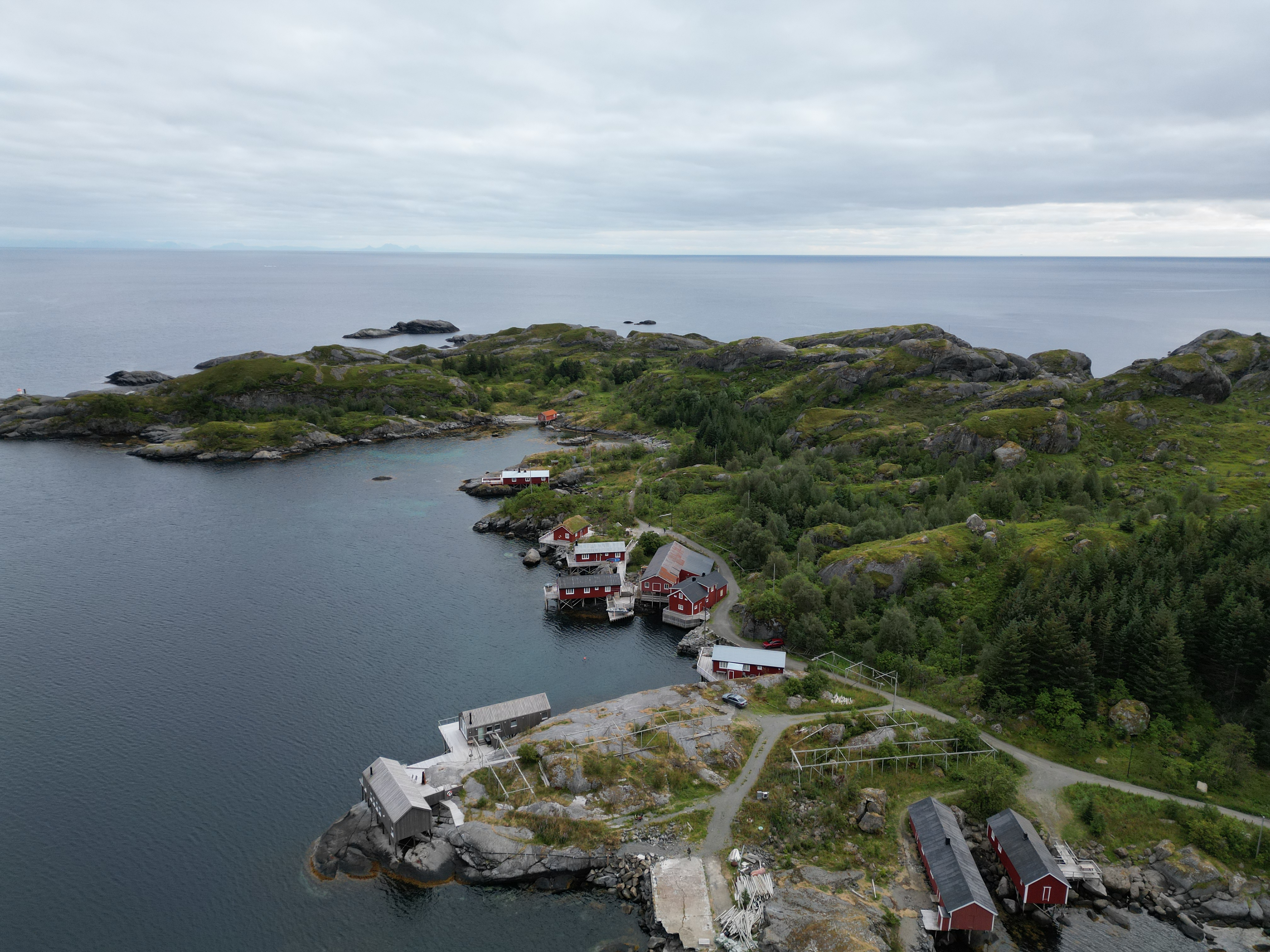
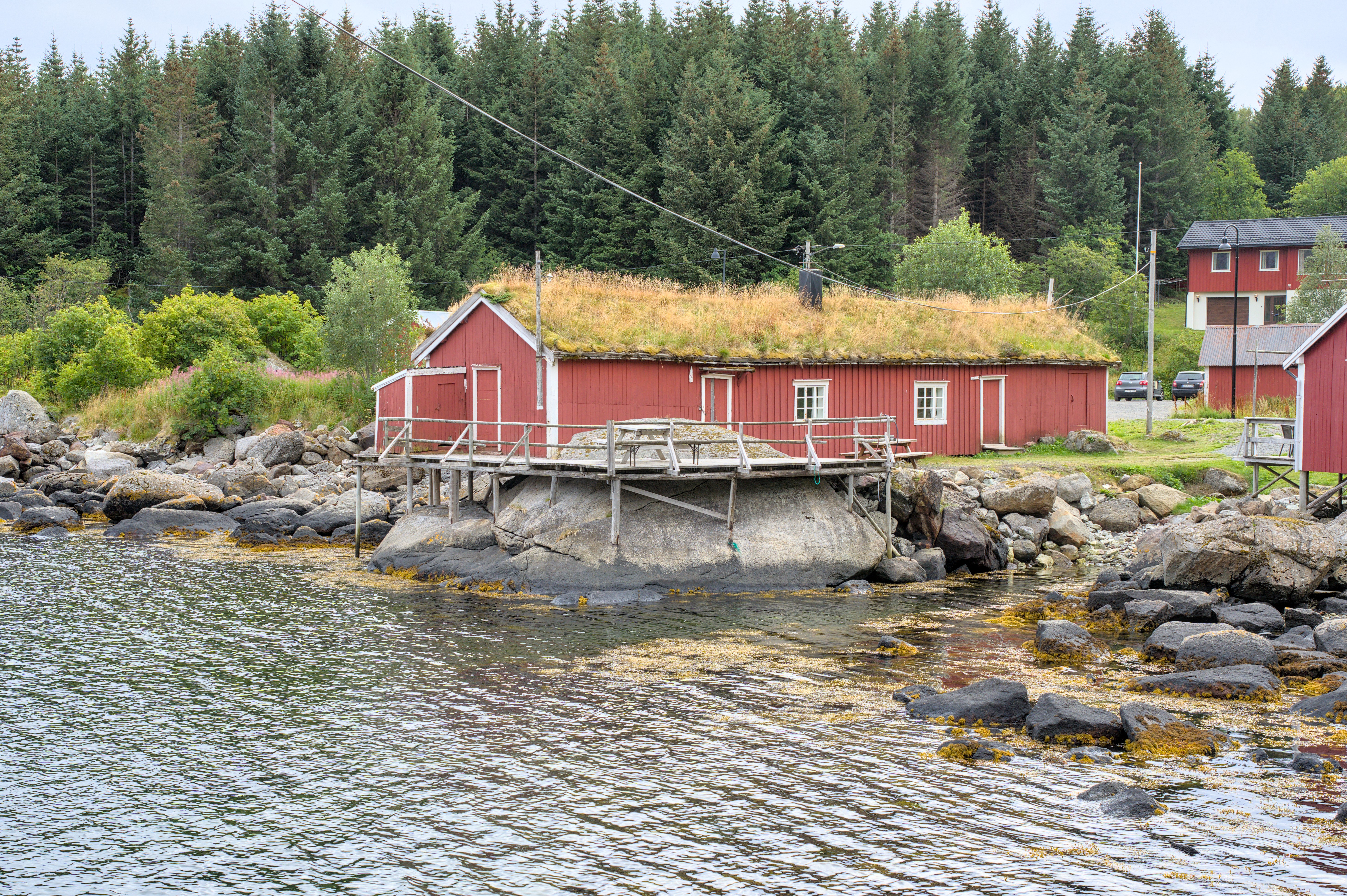
Yes, I know the views are almost repeating themselves. But we just could not decide this time. Everything here just looks so incredible. Lush green meadows and trees, deep blue sea and rugged rocks that go all the way to the shore. There are also picturesque fishing villages in bright yellow and red tones.
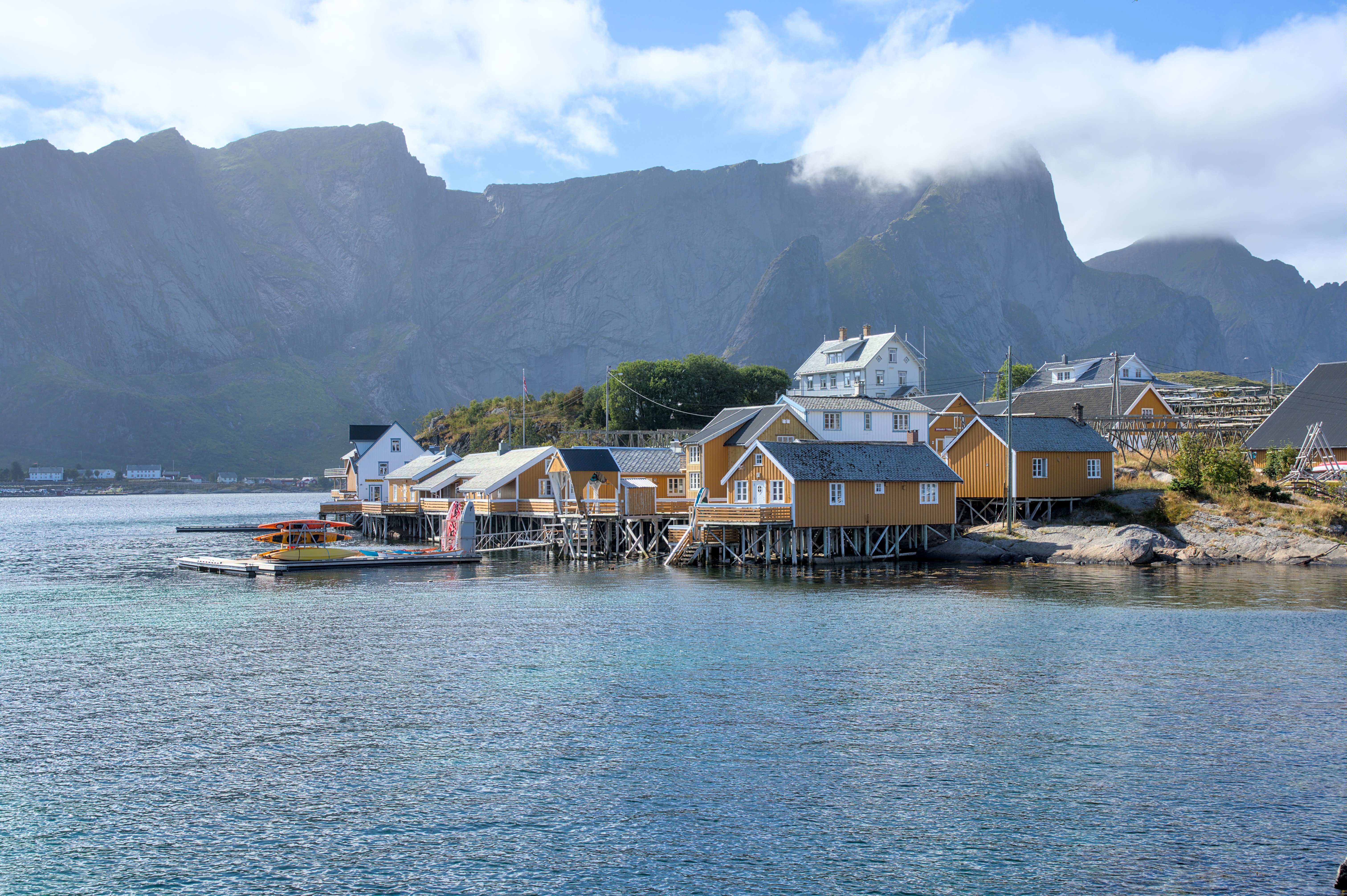
These idyllic places attract all kinds of tourists. Even though we are here at the end of the tourist season, the narrow streets here are busy during the day. Yesterday we stopped at a supermarket. Finding a parking space was almost impossible and even if you did, there was hardly any room to maneuver. Many drivers simply stopped on the already narrow road and waited for their passengers to return with their purchases. Unfortunately, these narrow and tiny islets are simply not made for so many tourists.
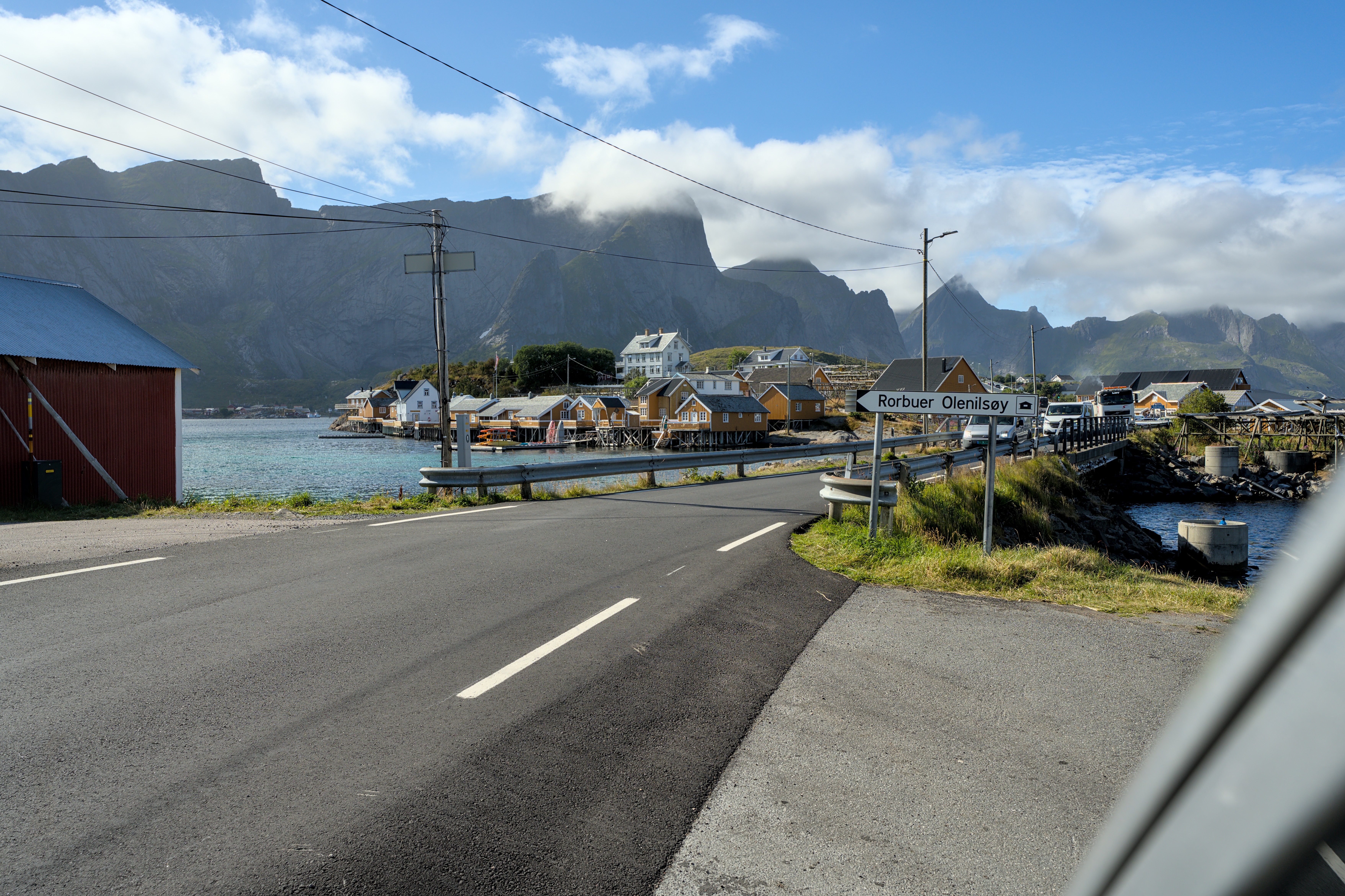
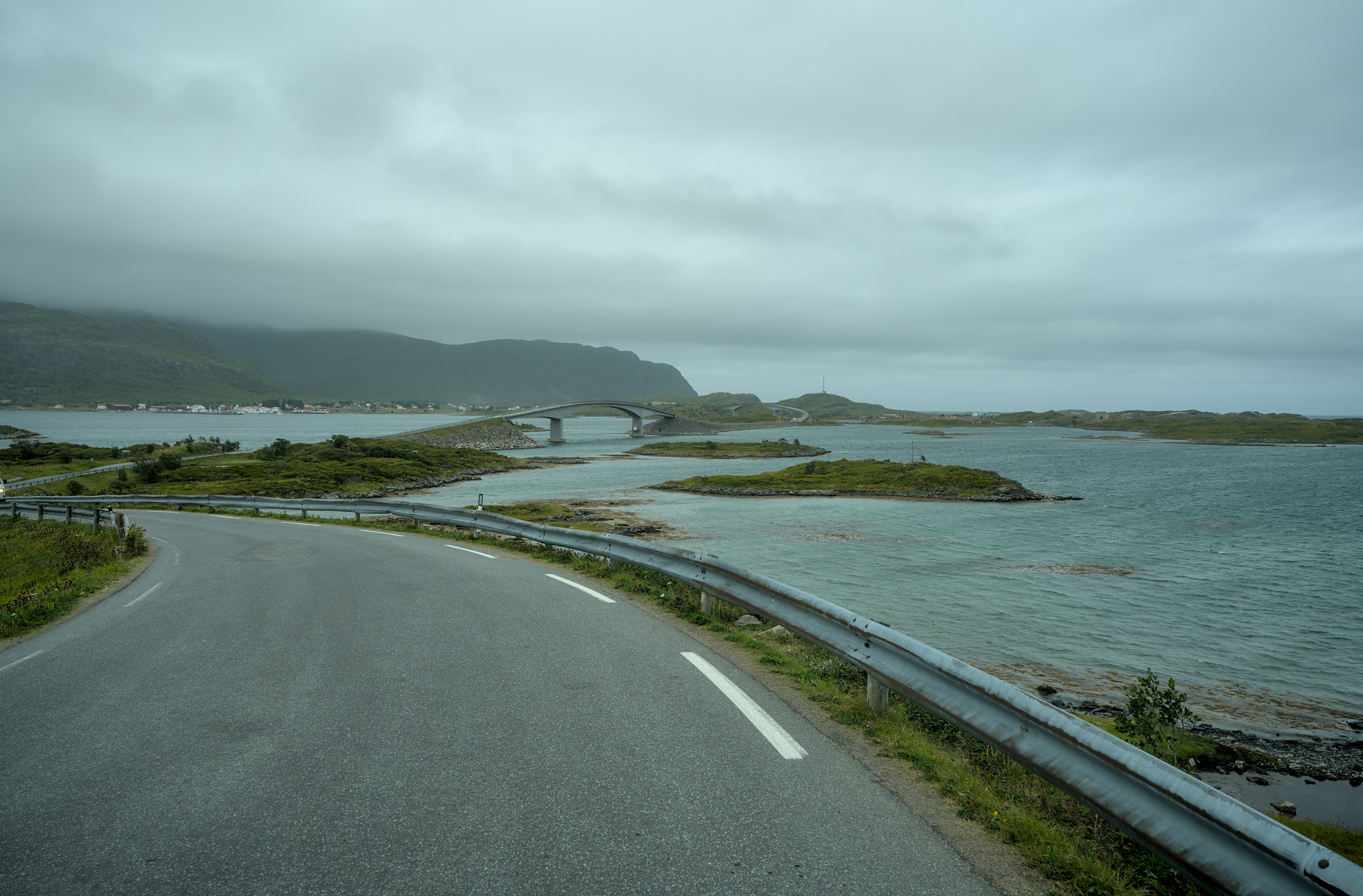
Many of the islands are only connected by these narrow single-lane roads and traffic lights are necessary to direct traffic along them in alternating directions.
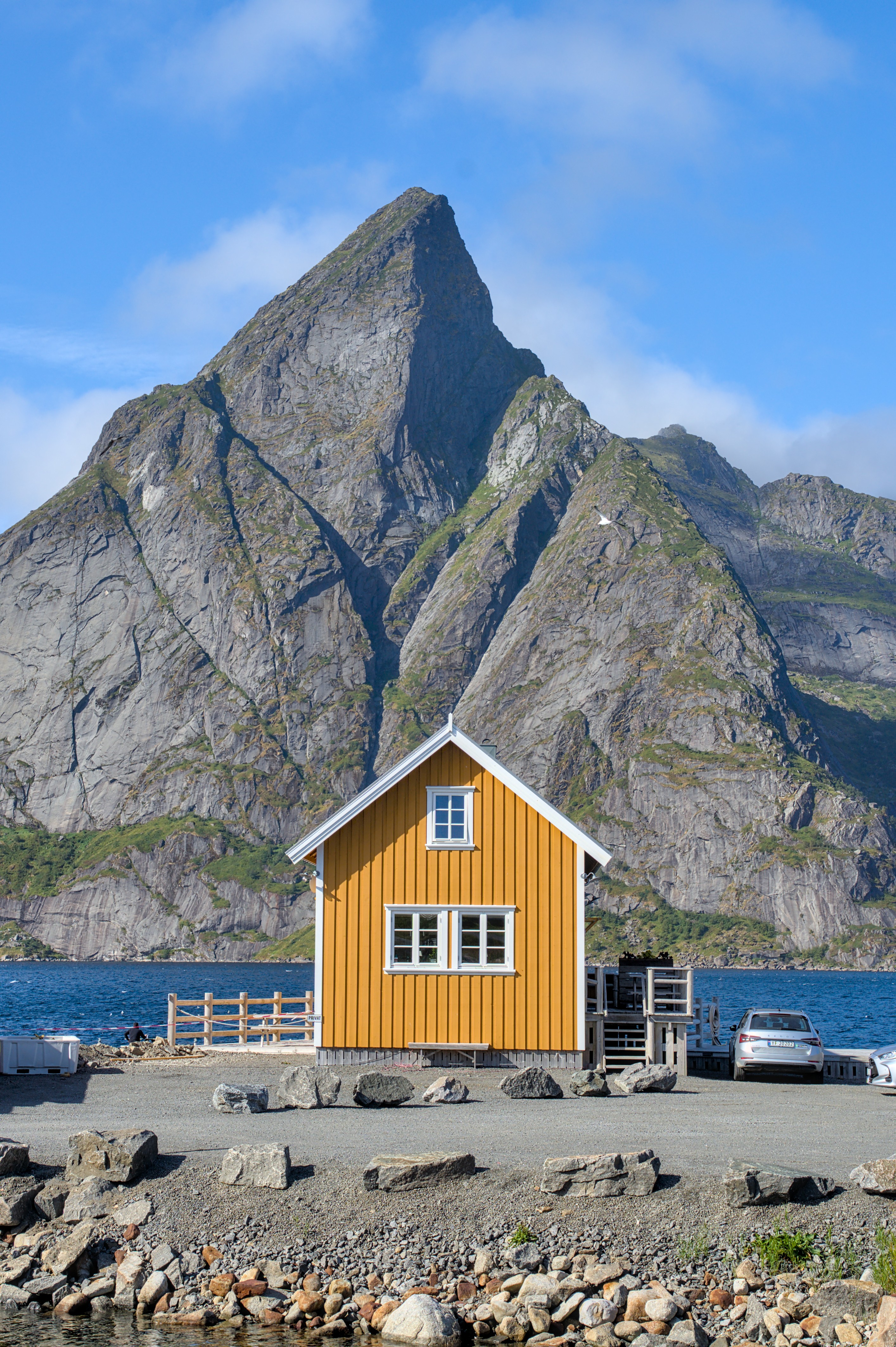
Nevertheless, the yellow house here is pure idyll and makes a great contrast against this bare mountain, right?
Fredvang Camping
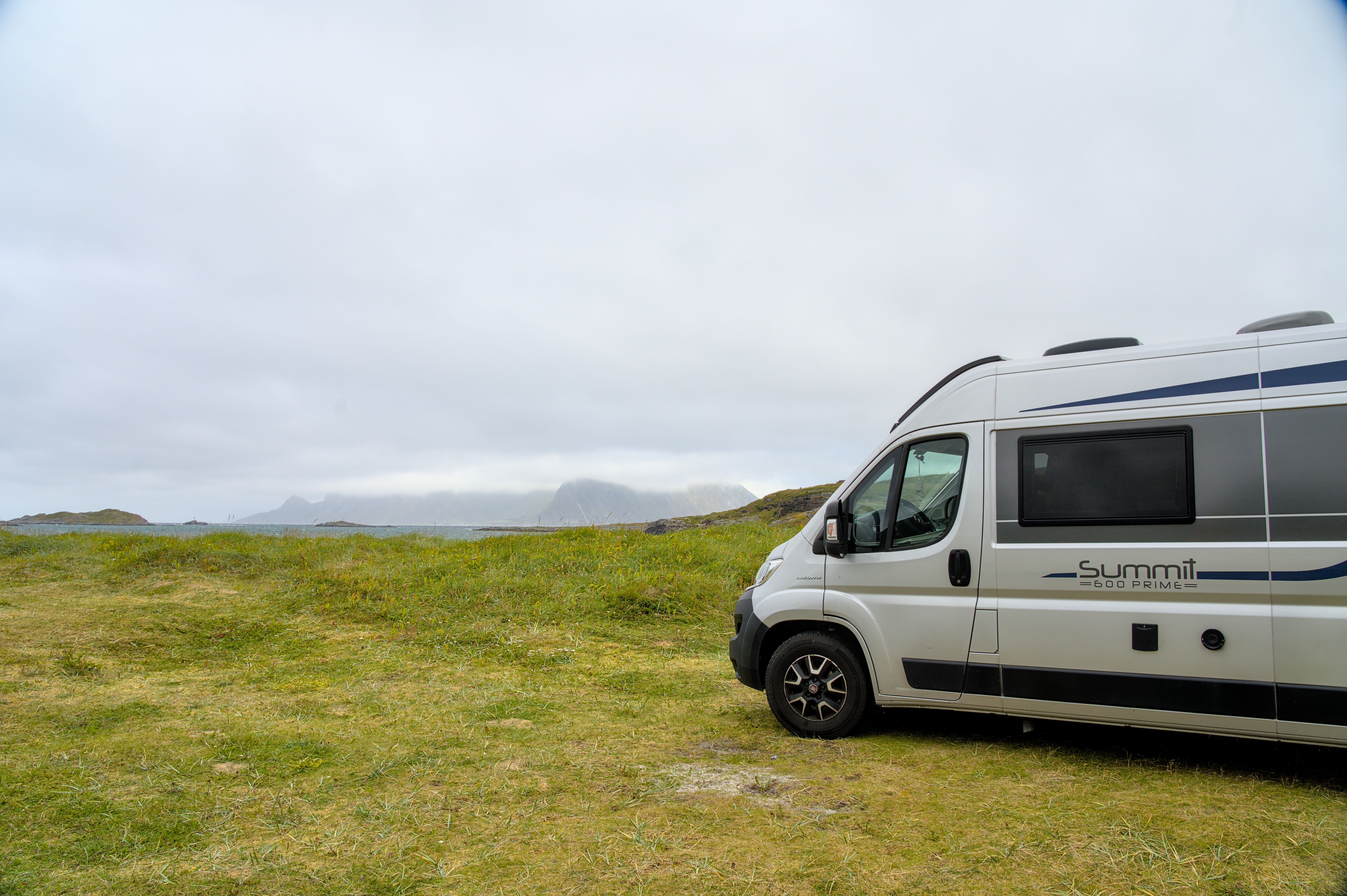
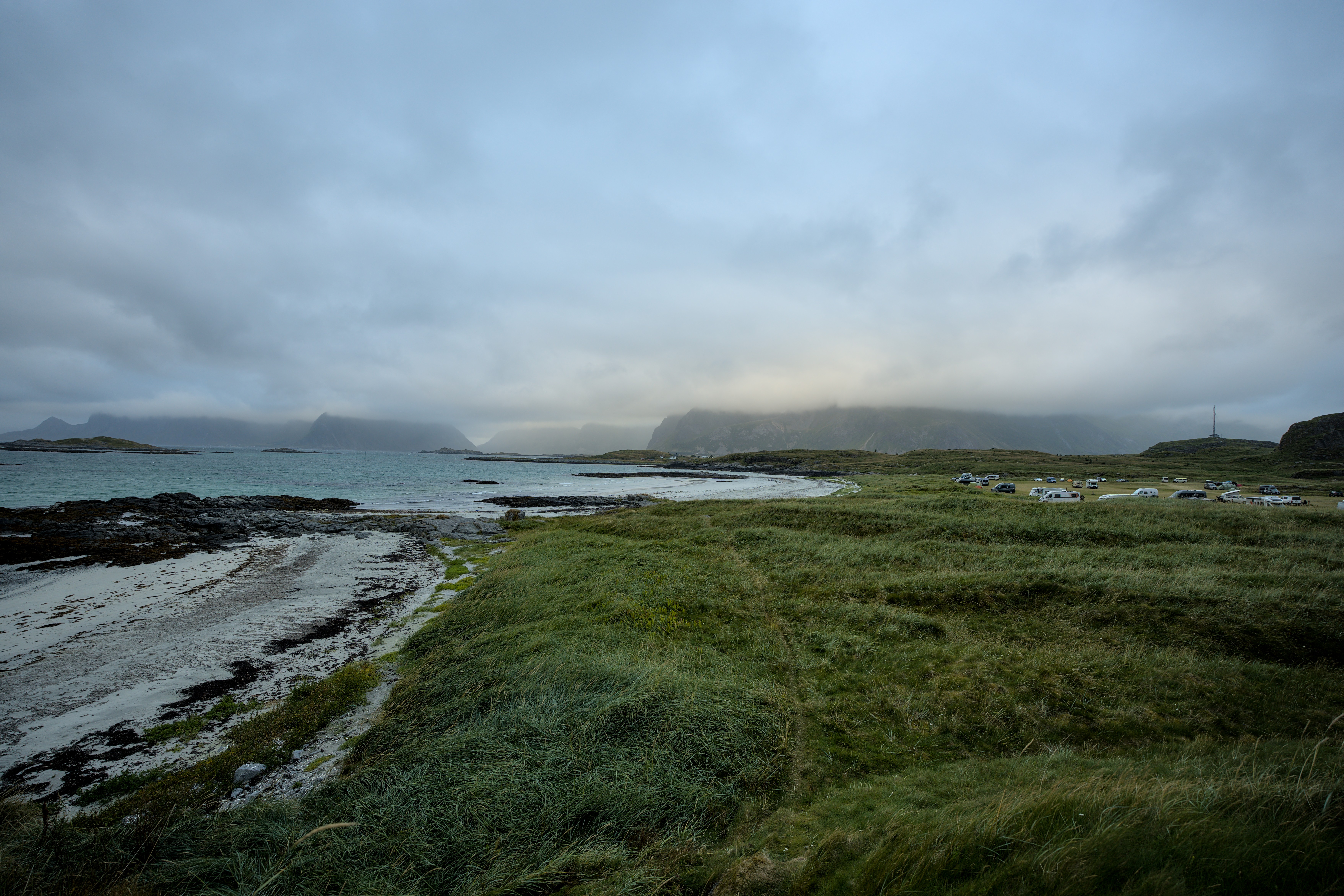
In the afternoon we arrive in Fredvang and look for a nice parking space at the campsite. We have moved to the north side of the Lofoten and can now look out over the rough Atlantic Ocean from our parking spot. Just to the north of here, the next island is Svalbard, some distance away. In between there is only cold, rough sea. Actually, rough indeed. Meanwhile the wind almost turned into a storm here. There is also a lot of clouds, less sun and light drizzle. I would almost say - like at home in Copenhagen. Fortunately, things should be different again tomorrow morning. Maybe you remember the blog posts from the Faroe Islands: The Land of Maybe We assume that the same applies here: the weather changes every five minutes anyway.
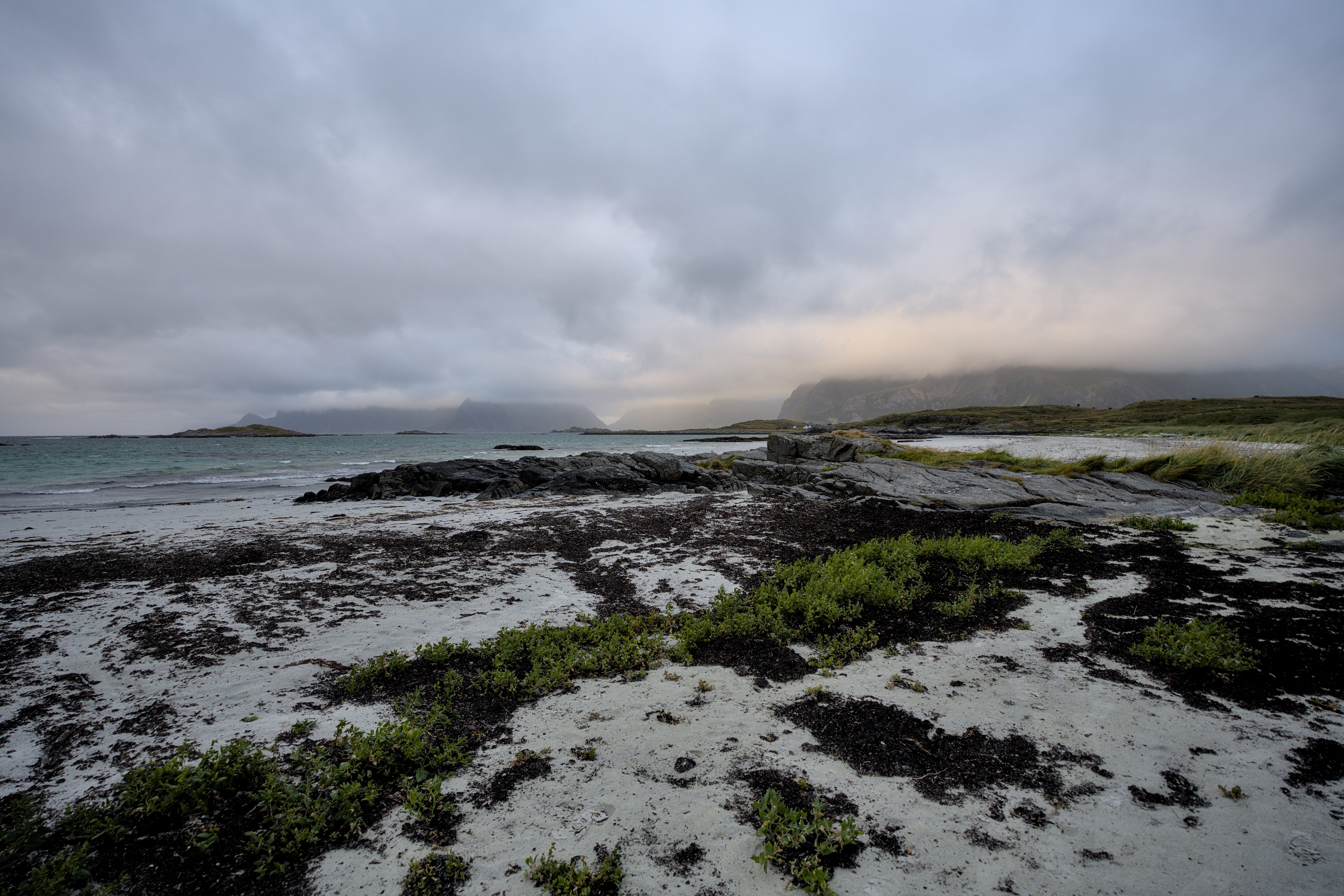
In the evening I take another walk around our campsite and walk along the beach. But with the wet, cold and very windy weather it is not too much fun. But it is definitely enough to spot possible drone airfields for the next morning.
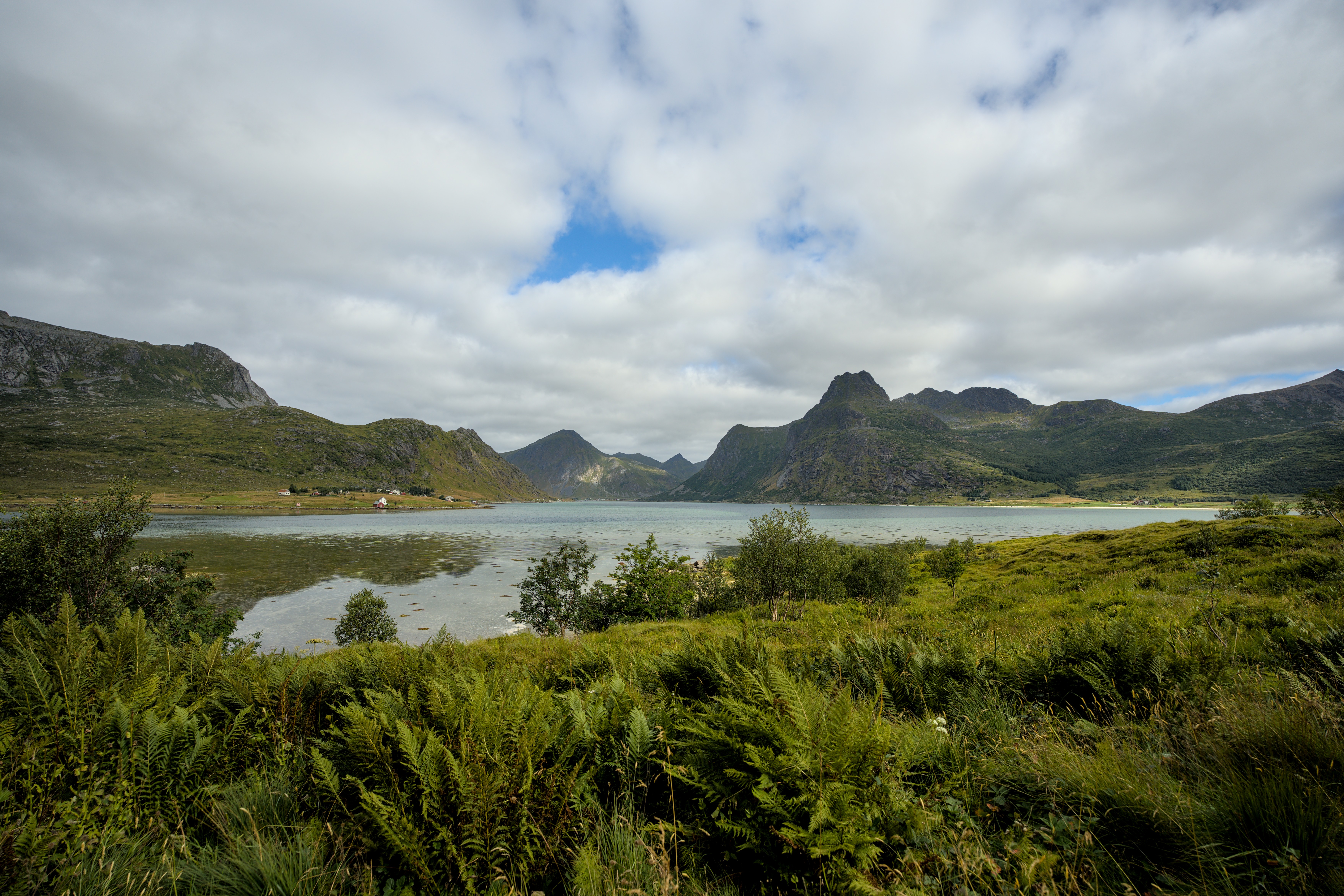
These views remind me a little of fantasy images of “The Lord of the Rings”.
The next morning the weather is indeed much better. There are gaps in the clouds and the wind speed has dropped significantly. That means we will now let our drone take a few more photos of the campsite.
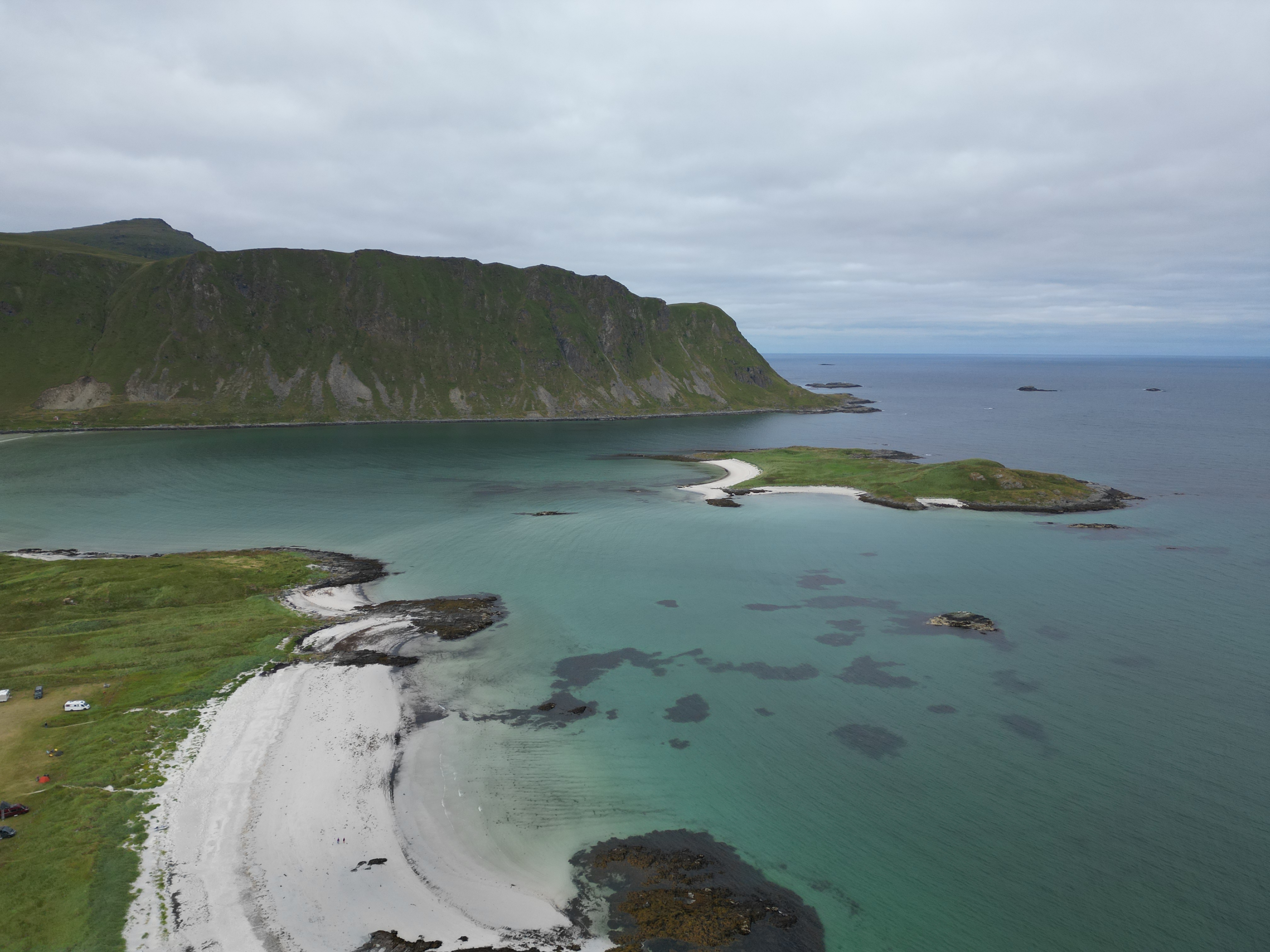
However, we seem to be disturbing a bird somehow. He constantly circles around the drone and comes dangerously close to it. So we stop the recordings quickly, we do not want to cause any disturbances. You can see more of this in the videos at the top of the post.
Nusfjord
After the exploratory flight, we take care of fresh water for our Dumbo and dispose of the used water. Then we finally move on to the next highlight, Nusfjord.
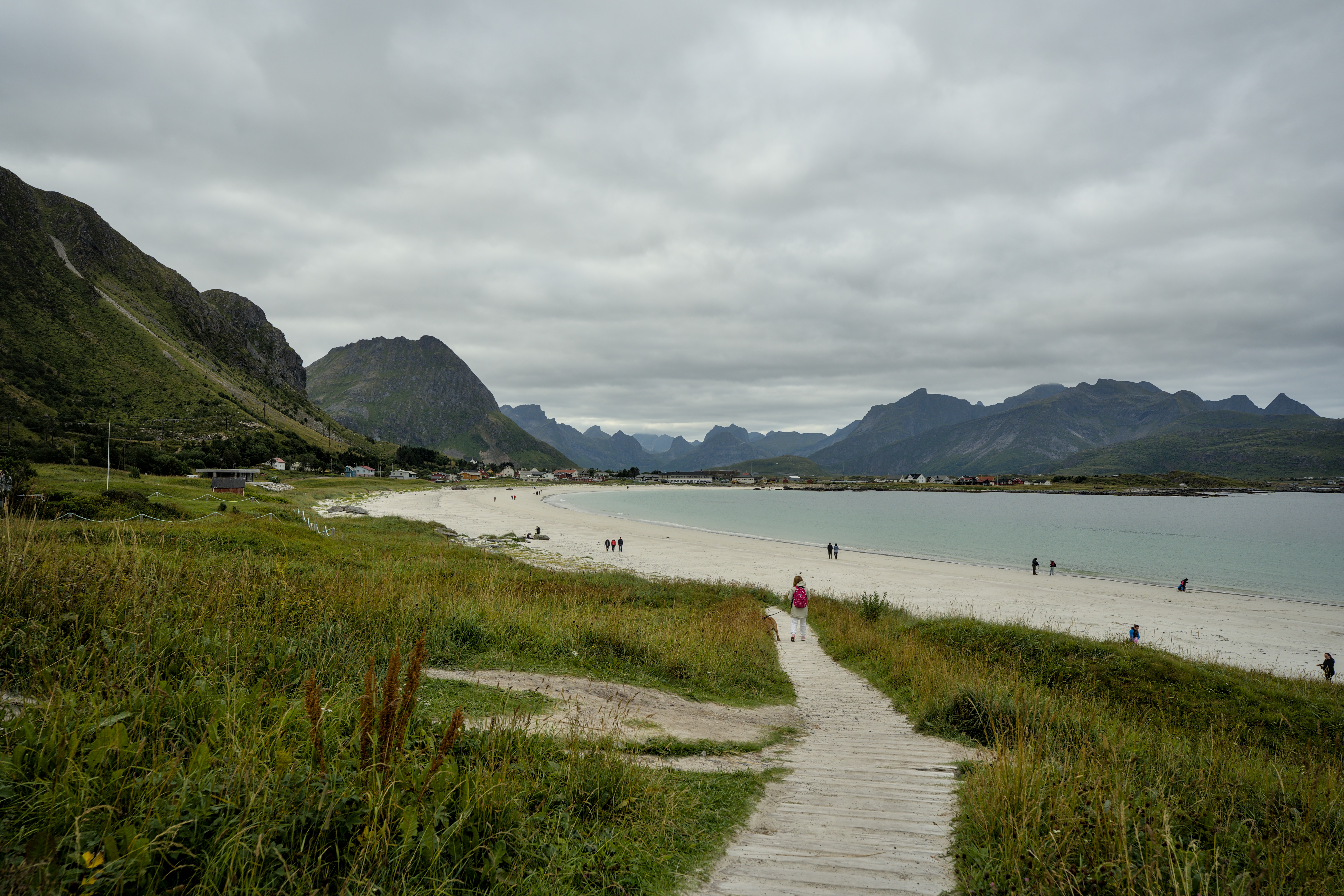
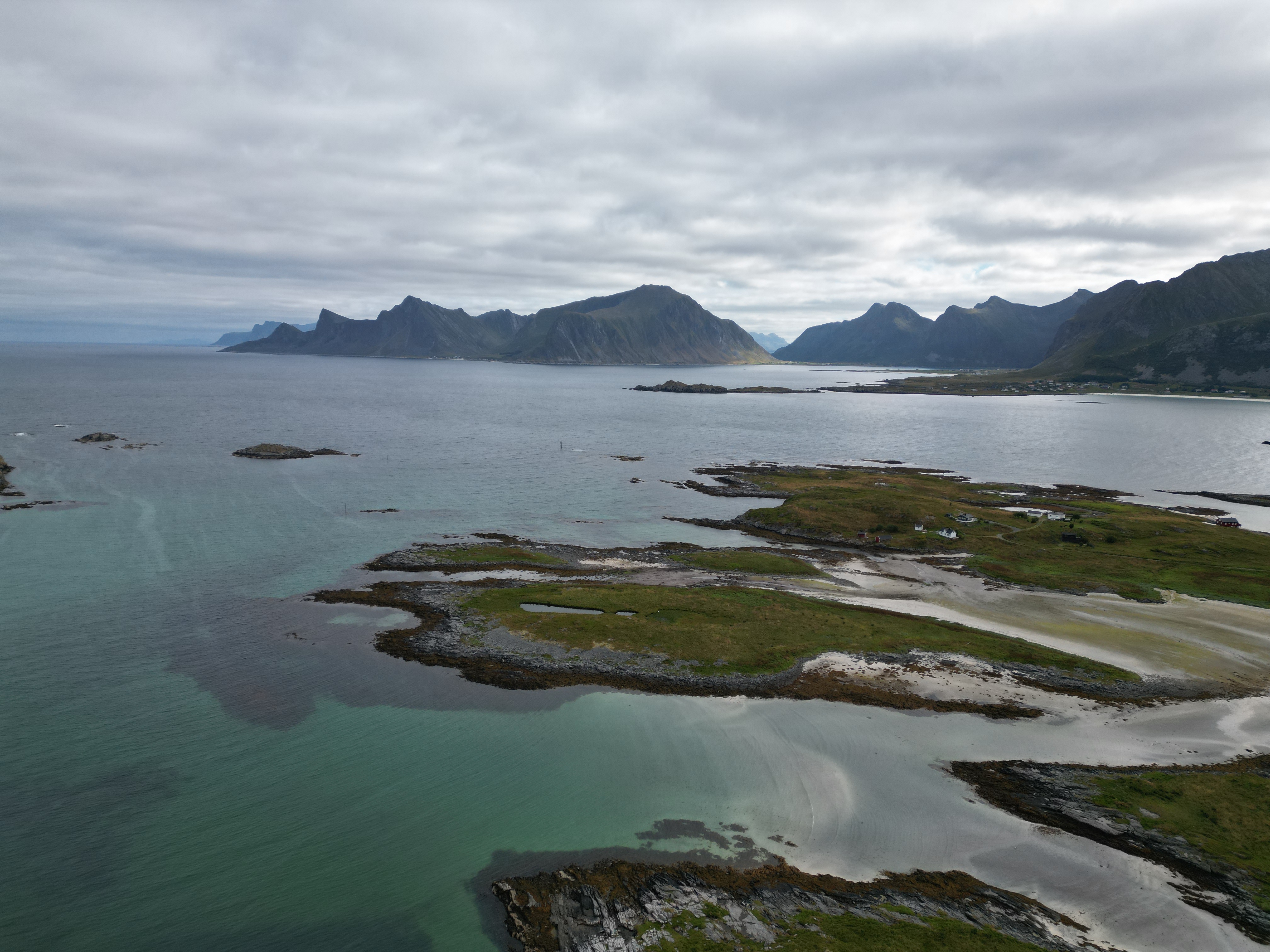
On the way we find even more impressive beaches…
… and more fantastic views.
The [panoramic road to Nusfjord](https://www.google.com/maps/place/Stra%C3%9Fe+nach+Nu%C3%9Ffjord/@68.0621598,13.3273189,14.16z/data=!4m6!3m5! 1s0x45de176ce66b2d09:0xf25fe051cfb96043!8m2!3d68.0626138!4d13.3256927!16s%2Fg%2F11khrlwc7c?entry=ttu) is a particularly popular one on Instagram and co. It is a popular road that leads directly to a mountain wall. Unsurprisingly, it takes us a little longer to cover this route. We decided to take drone footage of Dumbo driving. So, it takes us about 25 minutes to travel 1km of road here… by car.
That is quite an achievement. We drive back and forth along the street several times, wait for cars to pass, turn around and repeat the attempt. At times the remote control almost loses connection to the drone and I am worried that the drone might try to make an emergency landing at the take-off point. So another kilometer behind me. That means running towards it as quickly as possible and making sure that the connection is stable again.
The whole time our little one is having fun with her toy camera and taking photos herself. Of herself, the view and her mom in the driver’s seat.
In Nusfjord we promise her the biggest juice ever for her patience.
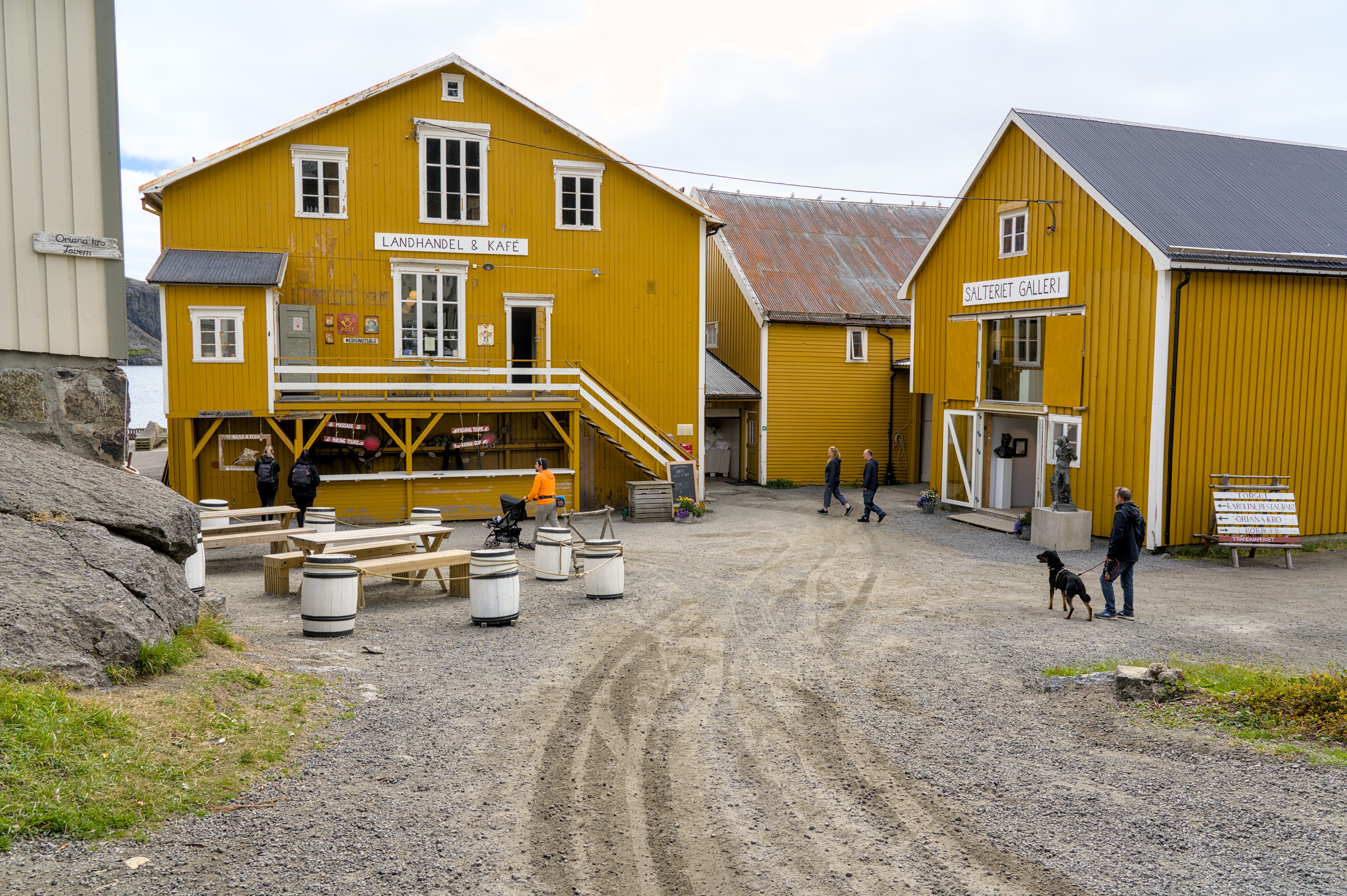
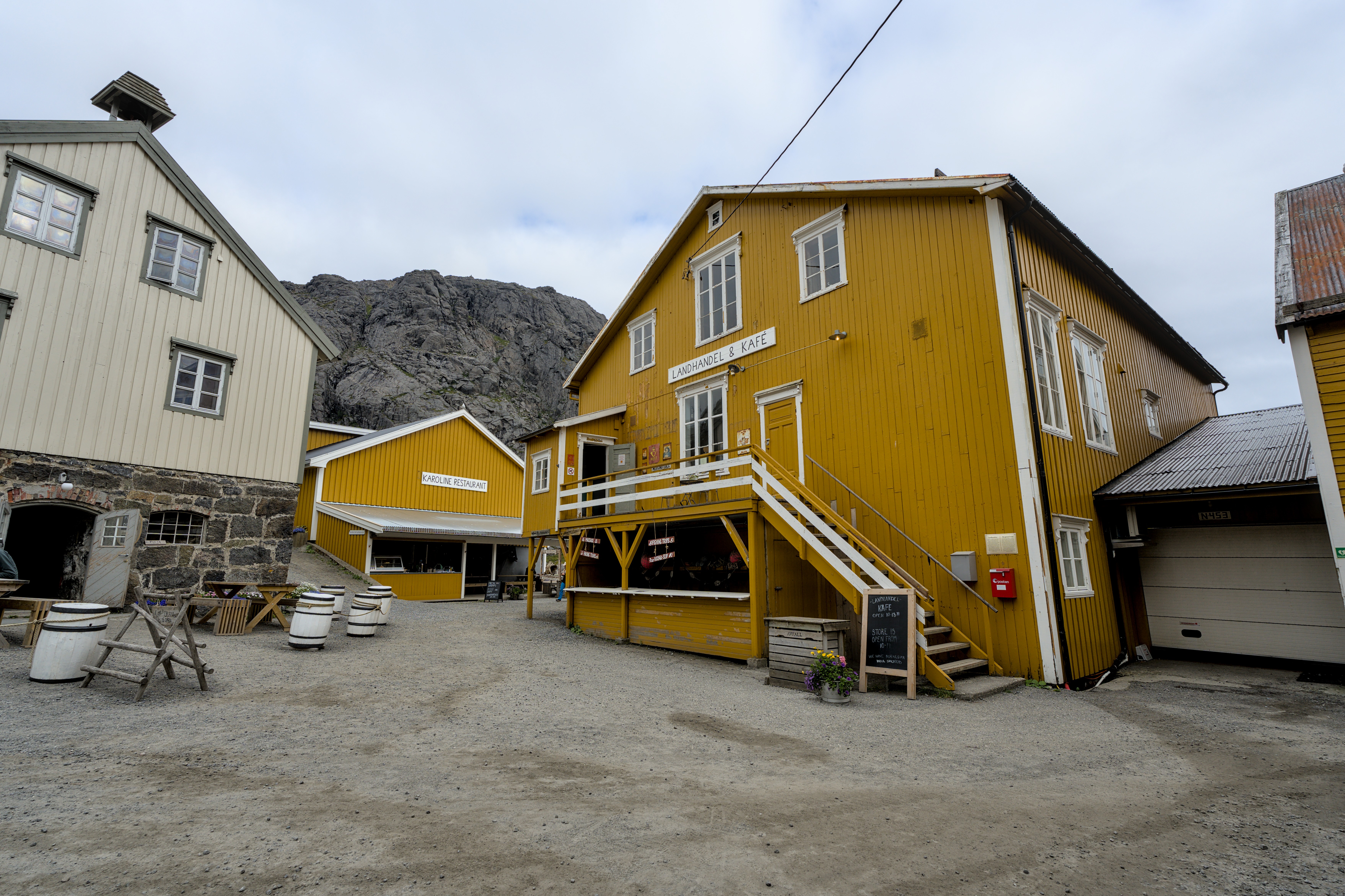
When we arrived in Nusfjord a little later, we apparently misunderstood the local restaurants. There is no juice available anywhere in town, neither in the café nor in the restaurant or pizzeria. And the waffles we wanted are apparently not available either, contrary to what the menu claims. So we need to stick with pizza for lunch. However, this obviously makes the meal take a long time. Afterwards, we explore the old fishing village extensively. Entrance to this museum village costs NOK 100 per person.
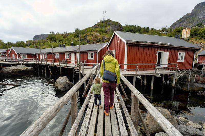
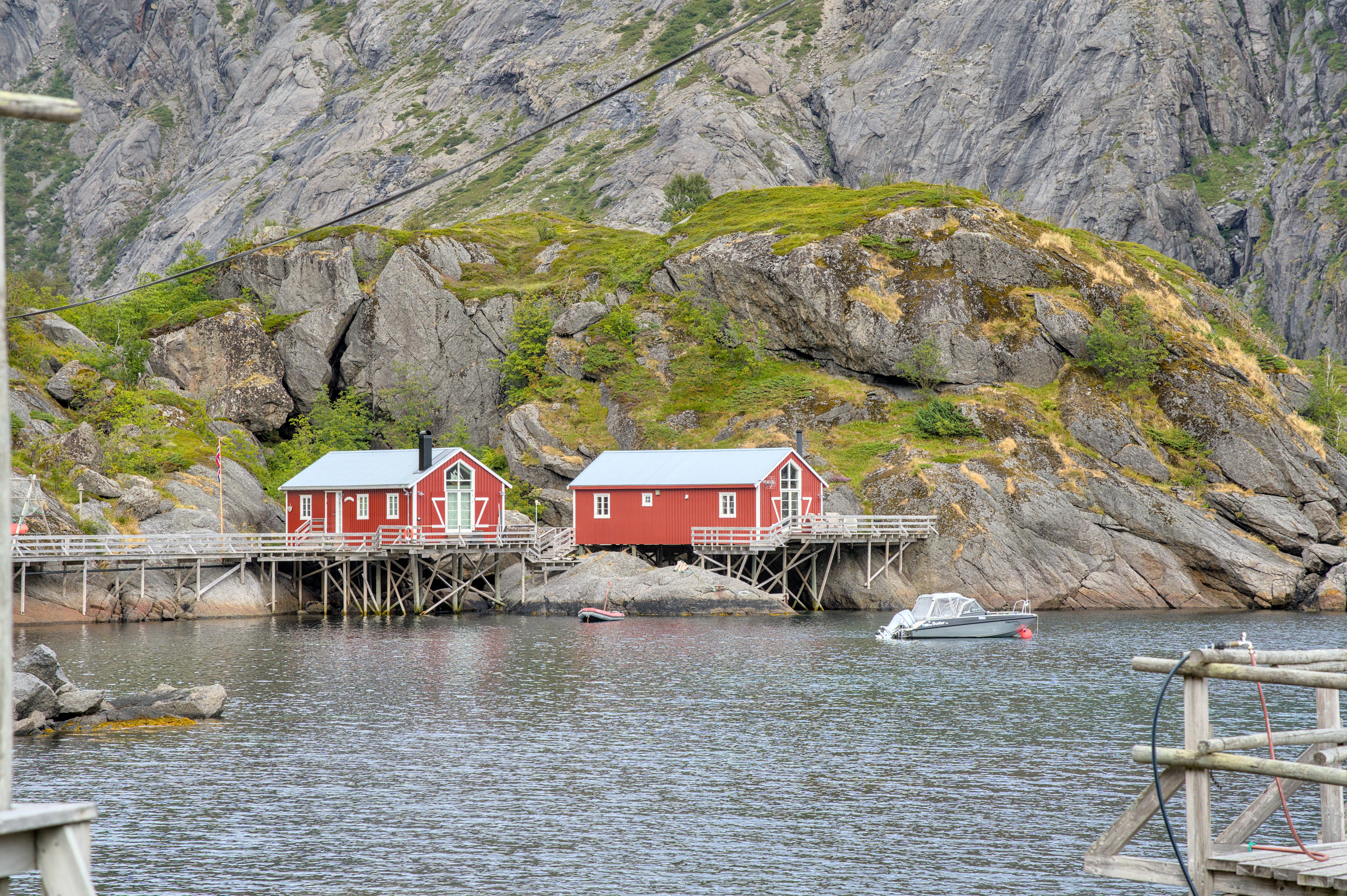
A speciality here is, that parts of the old town are built exclusively on wooden piles and footbridges and only partly on land. Additionally, the town is built in a bay behind a rock formation, creating a natural, safe harbor. There is also evidence that fishing has been taking place here since around 400 AD and by the end of the 20th century it was the leading fishing village in the Lofoten Islands.
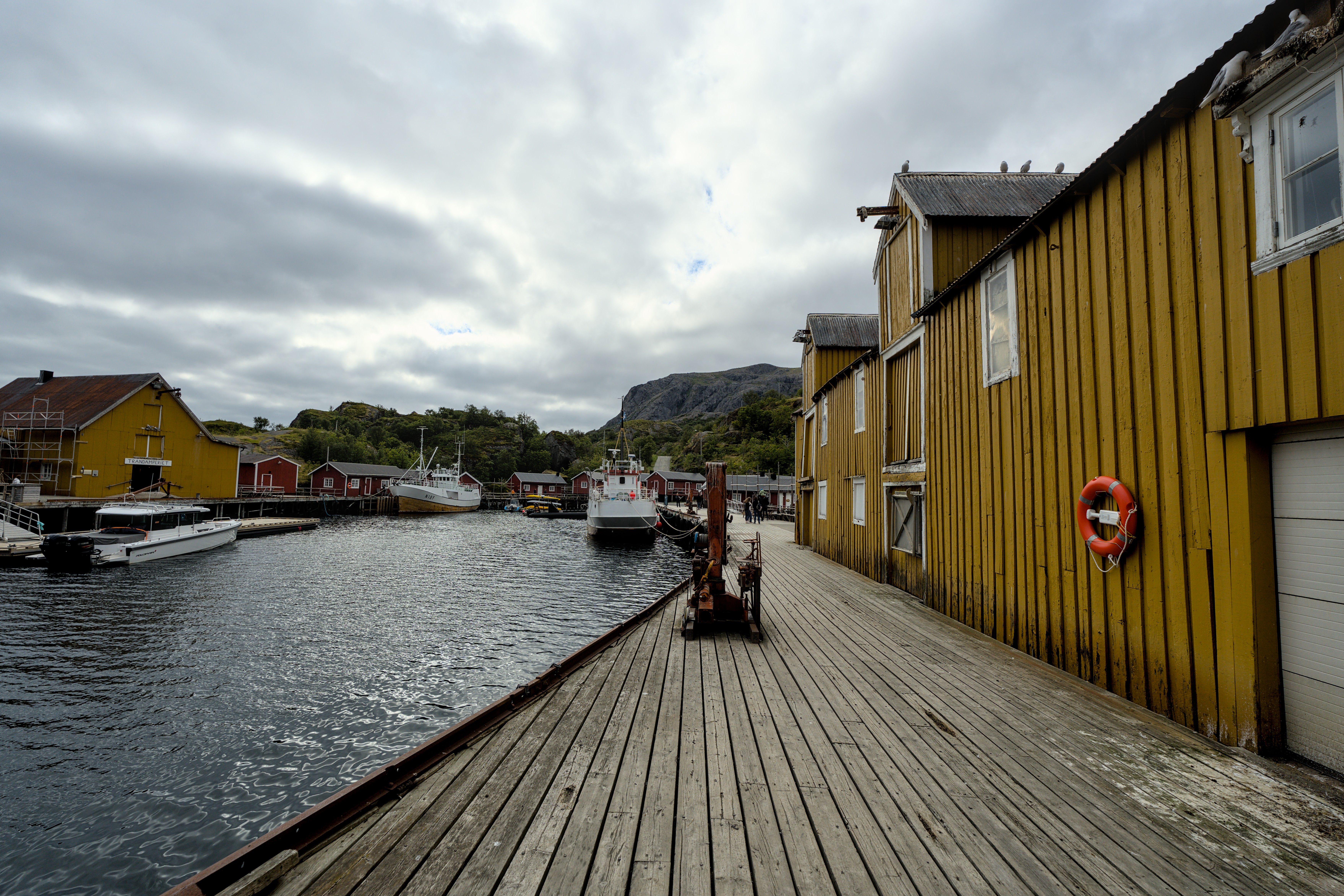
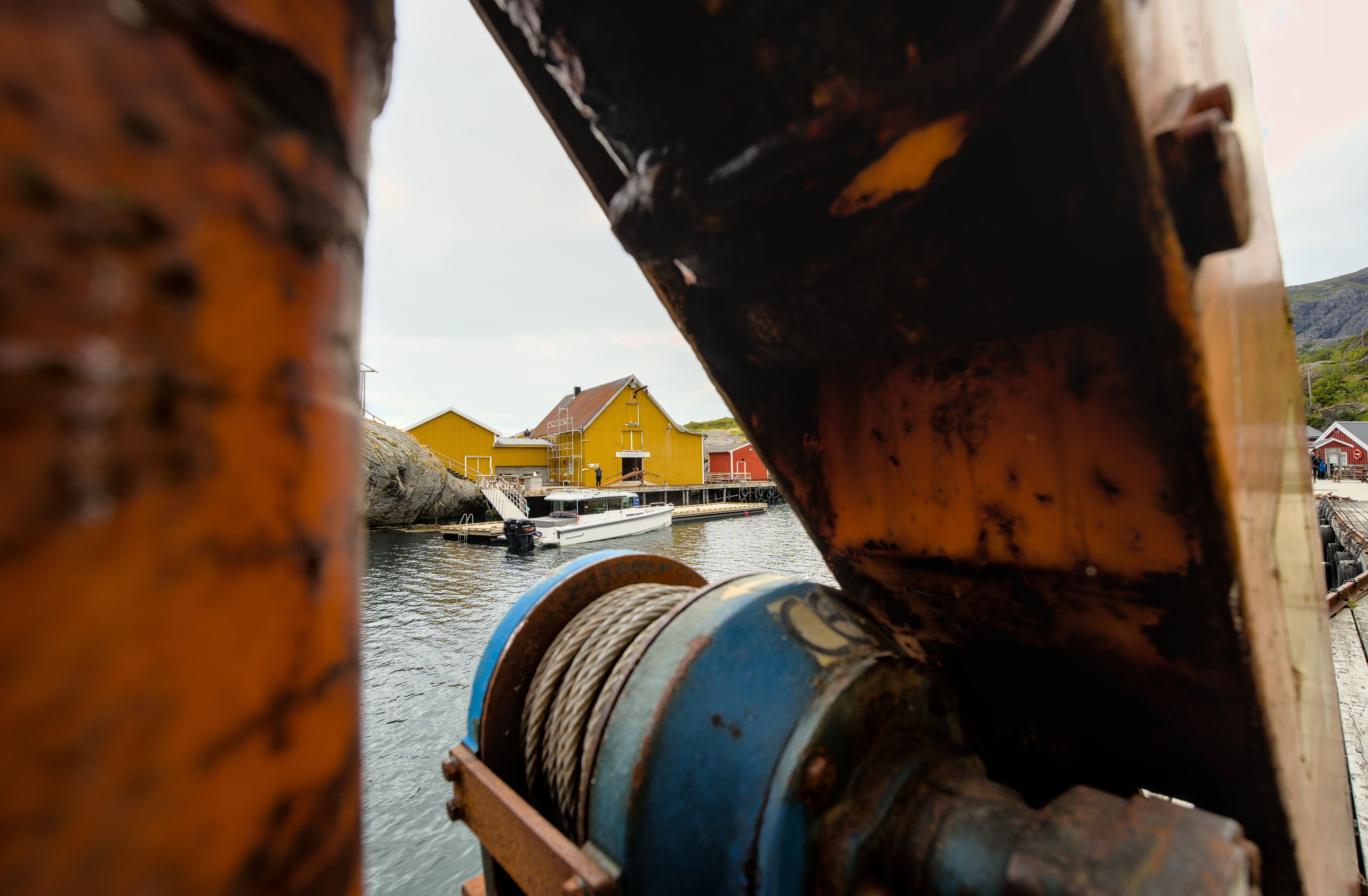
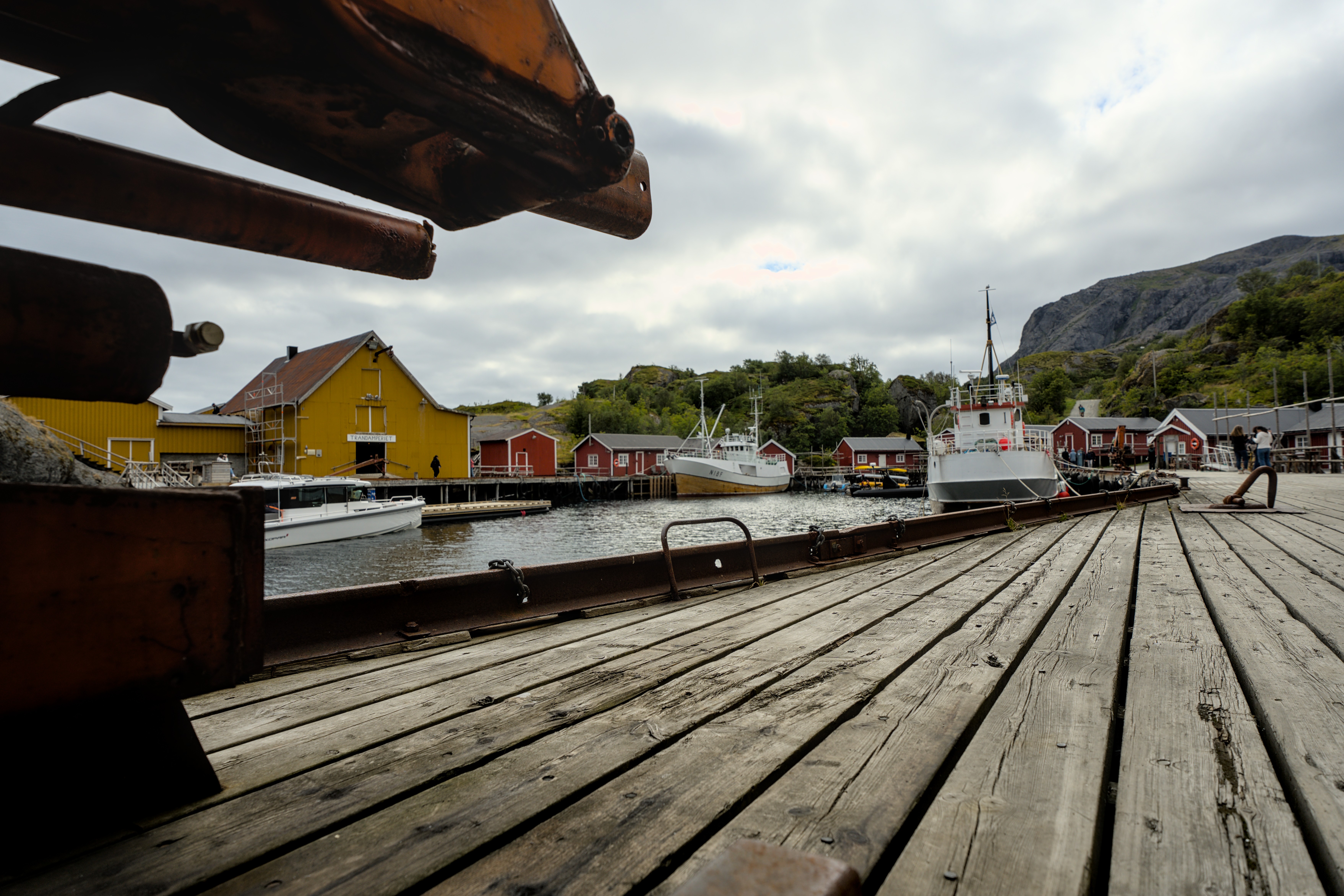
The old harbor area is really impressive and the old fishing huts also delight our little one with their bright yellow and red colors.

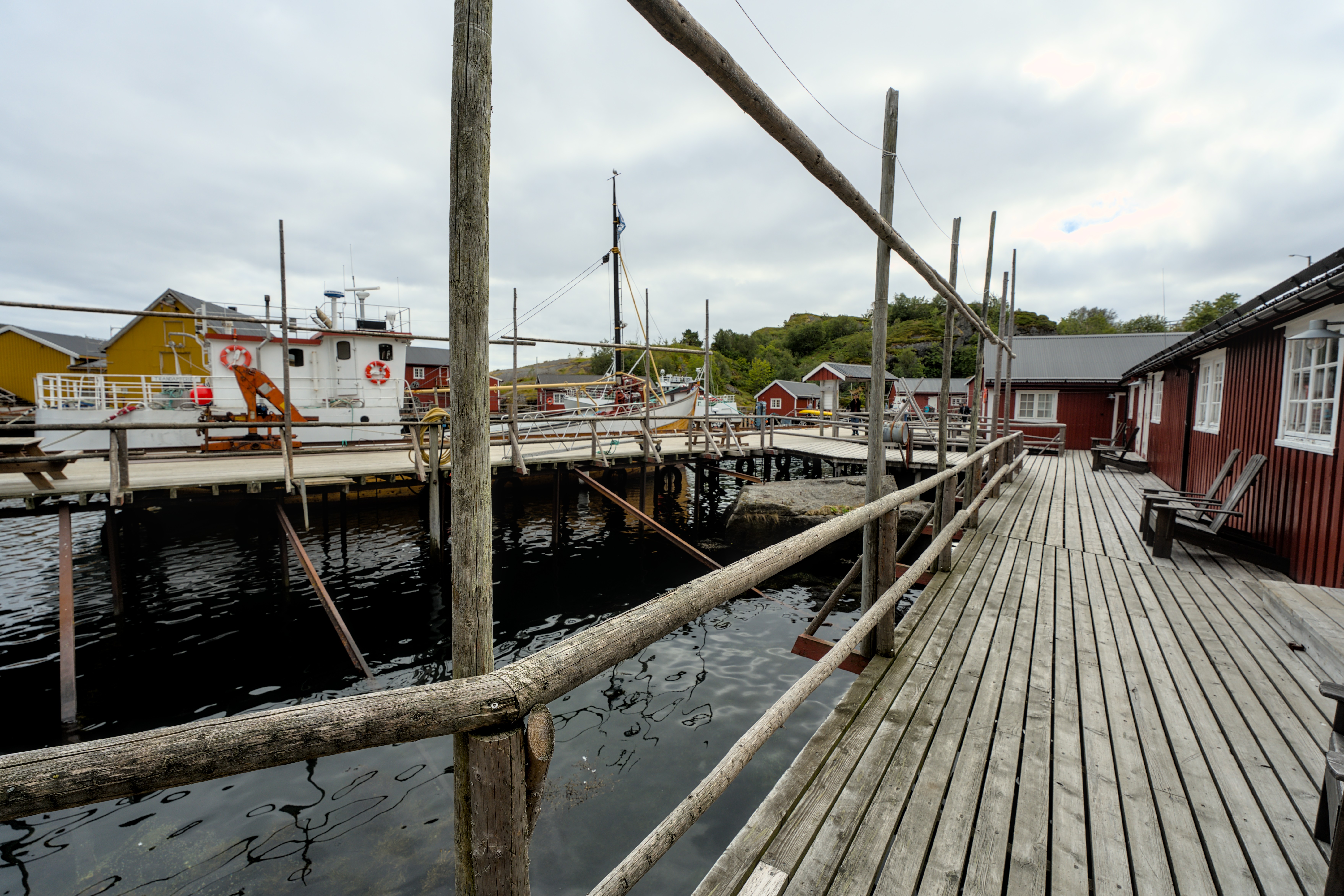
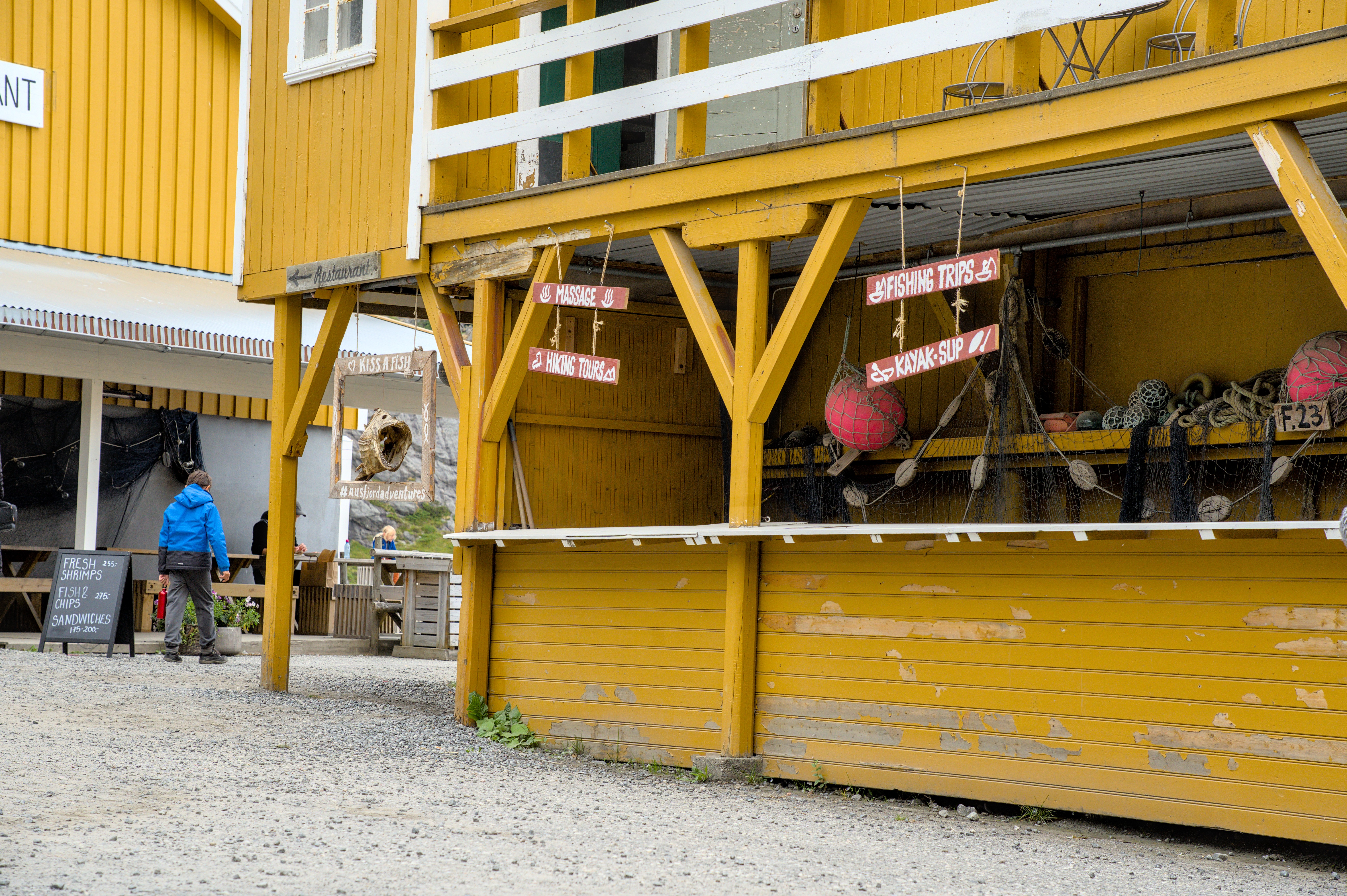
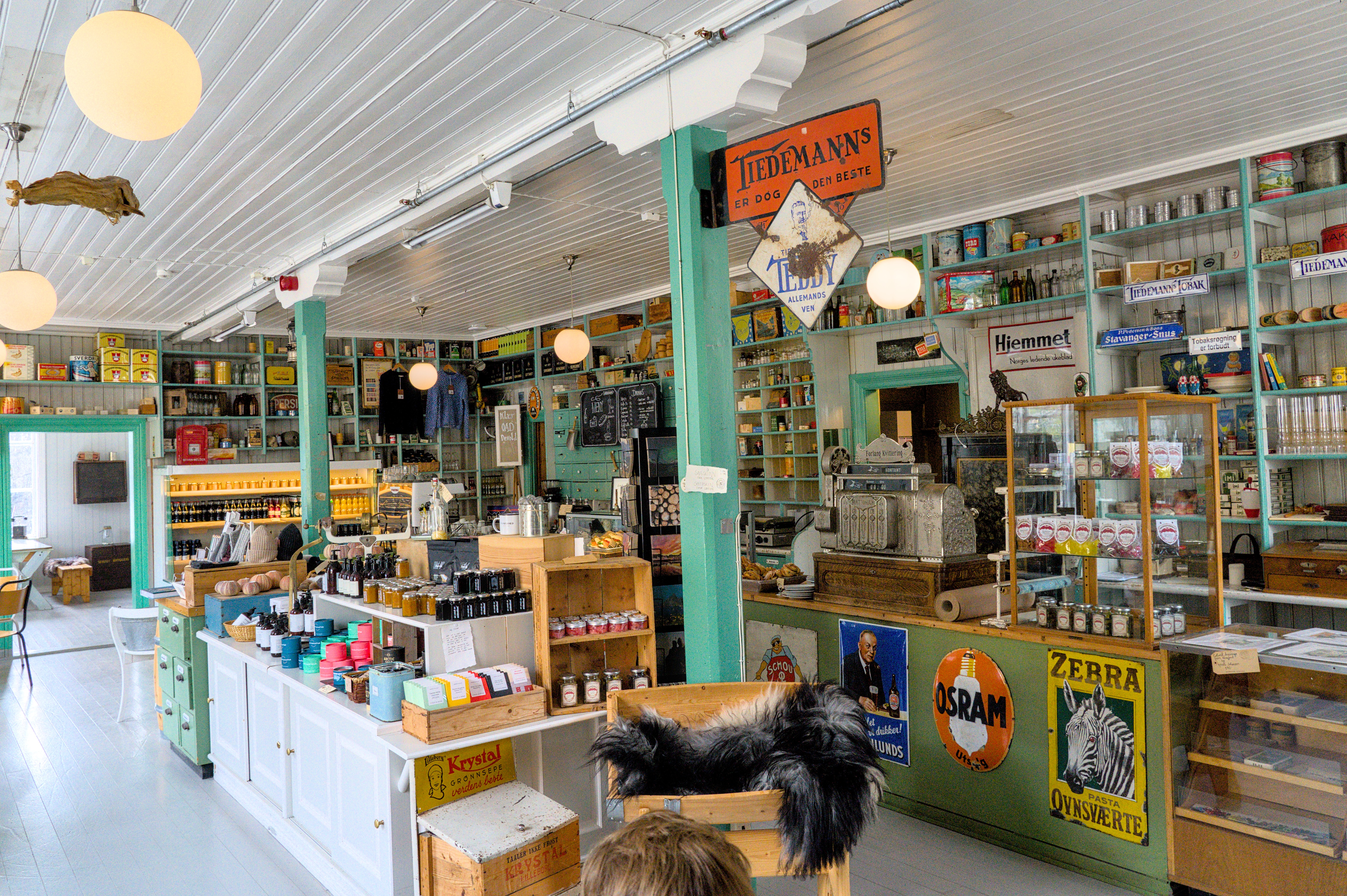
The old fishing huts are particularly worth seeing. All sorts of details such as fishing nets or stockfish are shown here.
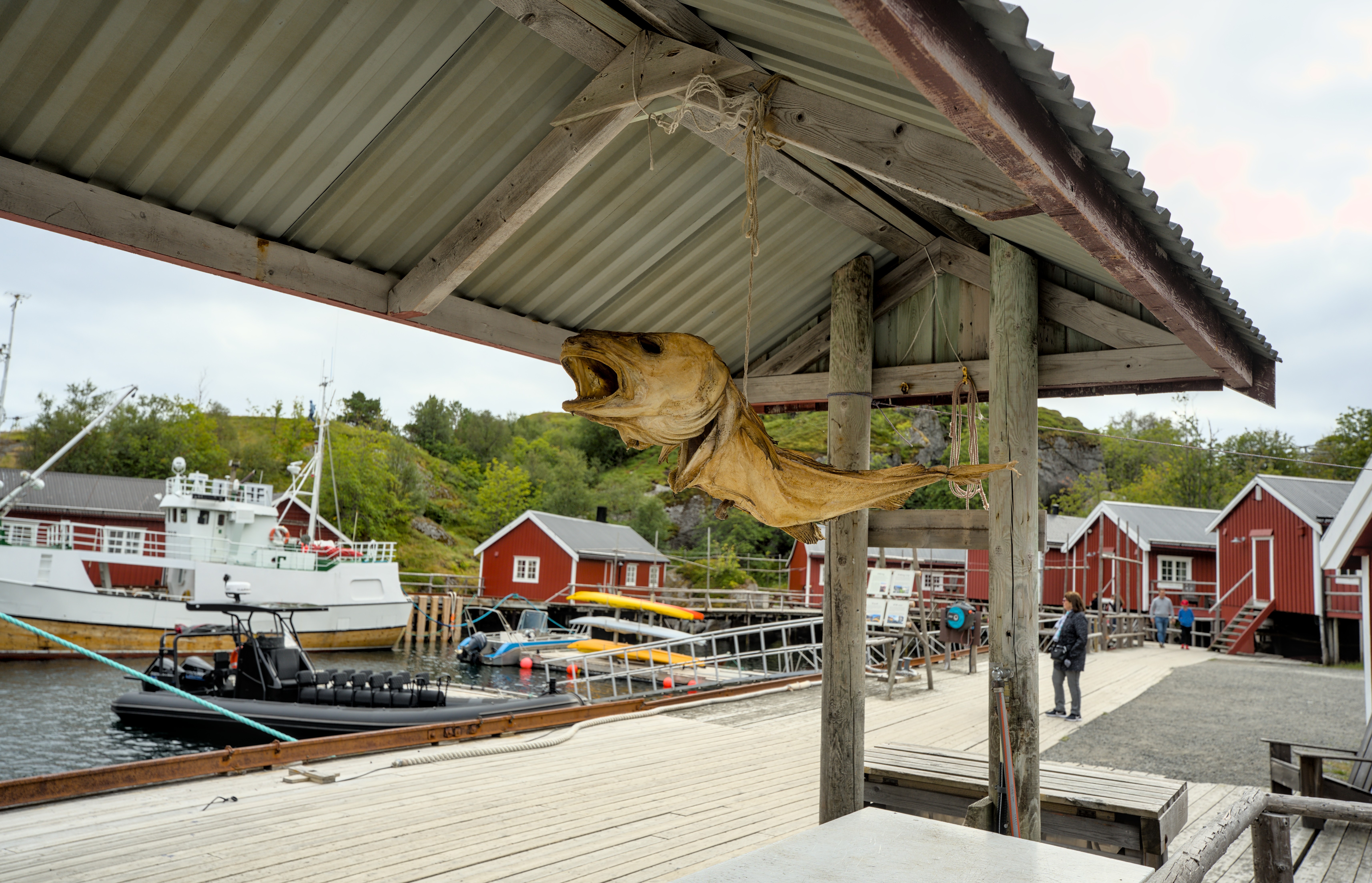
In the Tran Museum you can get a more detailed explanation of how the fish used to be processed here.
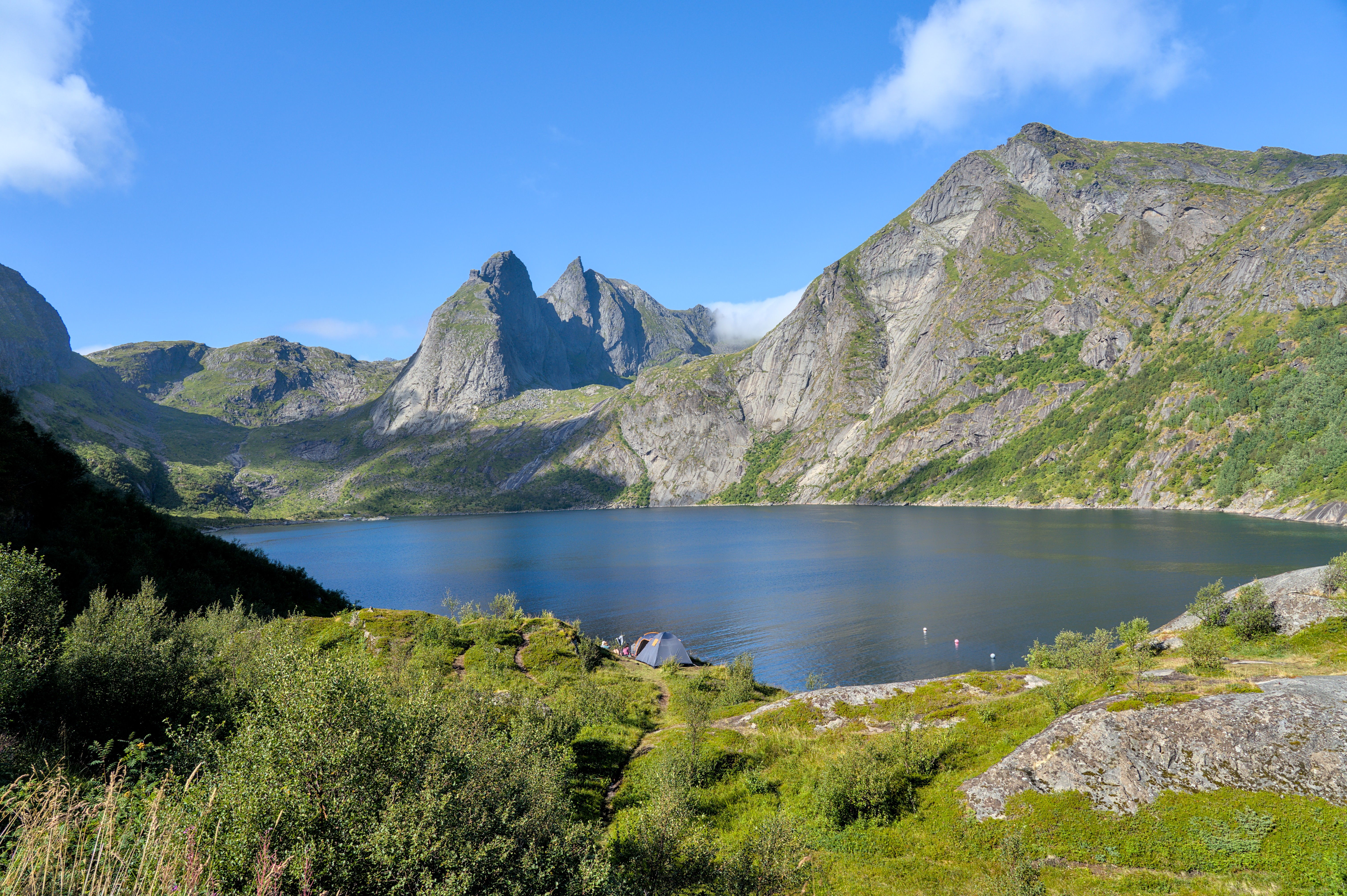
A small hill in the village, which largely forms the natural harbor, is accessible with footbridges and, in addition to a picnic bench and table, offers a great view over the fjord.
A gravel path leads a little away from the village, giving us the necessary distance to explore this peaceful place again from above.
But now we want to move on again and go through the village back to Dumbo. Let us see what the rest of Lofoten has to offer us.